


3.7 km | 4 km-effort

Tous les sentiers balisés d’Europe GUIDE+


FREE GPS app for hiking
 SityTrail
IGN / Geographical institutes
SityTrail World
The world is yours!
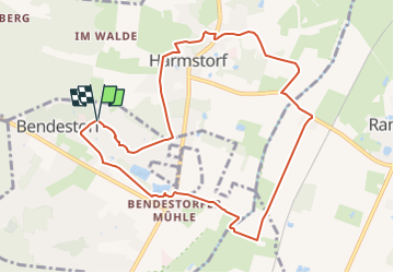
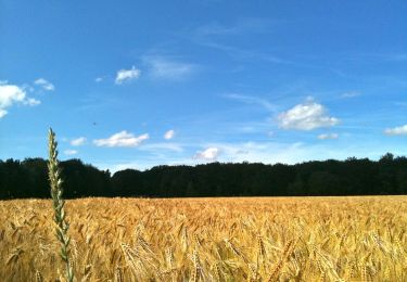
Trail On foot of 8.7 km to be discovered at Lower Saxony, Harburg, Bendestorf. This trail is proposed by SityTrail - itinéraires balisés pédestres.
Trail created by Bürger- und Verkehrsverein Luftkurort Bendestorf.
Symbol: blue hiker
Website: http://www.bvv-bendestorf.de


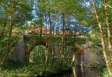
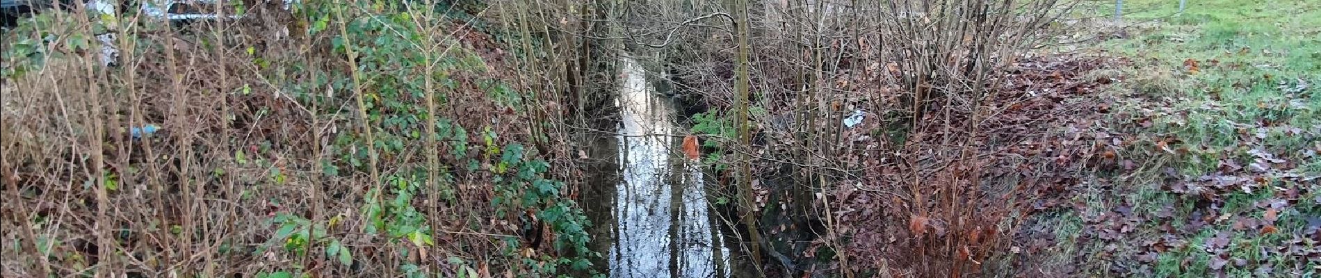
On foot

On foot
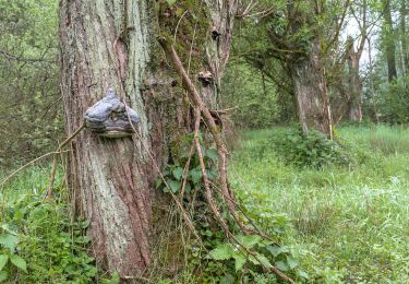
On foot
On foot