


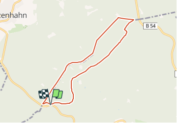

9 km | 11.8 km-effort

Tous les sentiers balisés d’Europe GUIDE+


FREE GPS app for hiking
 SityTrail
IGN / Geographical institutes
SityTrail World
The world is yours!
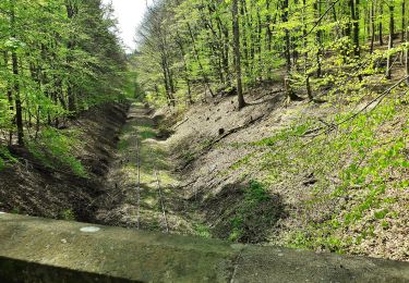
Trail On foot of 7 km to be discovered at Hesse, Wiesbaden, Unknown. This trail is proposed by SityTrail - itinéraires balisés pédestres.
Trail created by Kommunaler Zweckverband Naturpark Rhein-Taunus.
Symbol: roter Fuchs auf weißem Grund
Website: http://www.naturpark-rhein-taunus.de


On foot
On foot
On foot
On foot

On foot
On foot
On foot
On foot

On foot