


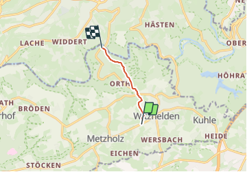

4.8 km | 6.7 km-effort
![Trail On foot Leichlingen - [Quadrat] Solingen - Talsperre Diepental - Photo](https://media.geolcdn.com/t/1900/400/edb471f7-af8b-4a96-981d-0a404cf8214c.jpeg&format=pjpeg&maxdim=2)

Tous les sentiers balisés d’Europe GUIDE+


FREE GPS app for hiking
 SityTrail
IGN / Geographical institutes
SityTrail World
The world is yours!
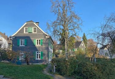
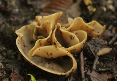
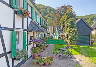
Trail On foot of 3.5 km to be discovered at North Rhine-Westphalia, Rheinisch-Bergischer Kreis, Leichlingen. This trail is proposed by SityTrail - itinéraires balisés pédestres.
Trail created by Sauerländischer Gebirgsverein.
Symbol: Weißes Quadrat auf schwarzem Grund
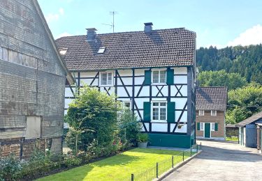
![Trail On foot Leichlingen - [Quadrat] Solingen - Talsperre Diepental - Photo 1](https://media.geolcdn.com/t/2048/auto/a3abcc94-5578-4447-b5b4-9c0d3191a661.jpeg&format=jpg&maxdim=0 "Trail On foot Leichlingen - [Quadrat] Solingen - Talsperre Diepental - Photo 1")
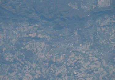
![Trail On foot Leichlingen - [Quadrat] Solingen - Talsperre Diepental - Photo 2](https://media.geolcdn.com/t/2048/auto/5a0591c1-8126-451c-9bec-a15b5ec8493f.jpeg&format=jpg&maxdim=0 "Trail On foot Leichlingen - [Quadrat] Solingen - Talsperre Diepental - Photo 2")
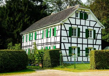
![Trail On foot Leichlingen - [Quadrat] Solingen - Talsperre Diepental - Photo 3](https://media.geolcdn.com/t/2048/auto/63df27e1-7e7f-4277-8f29-9182962cb602.jpeg&format=jpg&maxdim=0 "Trail On foot Leichlingen - [Quadrat] Solingen - Talsperre Diepental - Photo 3")
![Trail On foot Leichlingen - [Quadrat] Solingen - Talsperre Diepental - Photo 4](https://media.geolcdn.com/t/2048/auto/e04ab2e7-9a15-4c68-96e5-2de9268e91fc.jpeg&format=jpg&maxdim=0 "Trail On foot Leichlingen - [Quadrat] Solingen - Talsperre Diepental - Photo 4")
![Trail On foot Leichlingen - [Quadrat] Solingen - Talsperre Diepental - Photo 5](https://media.geolcdn.com/t/2048/auto/a302d3d7-dc8d-4eb3-8c6a-e4afedebbc77.jpeg&format=jpg&maxdim=0 "Trail On foot Leichlingen - [Quadrat] Solingen - Talsperre Diepental - Photo 5")
![Trail On foot Leichlingen - [Quadrat] Solingen - Talsperre Diepental - Photo 6](https://media.geolcdn.com/t/2048/auto/928b82dd-00cb-46a9-a4ac-a8ac1502807a.jpeg&format=jpg&maxdim=0 "Trail On foot Leichlingen - [Quadrat] Solingen - Talsperre Diepental - Photo 6")
![Trail On foot Leichlingen - [Quadrat] Solingen - Talsperre Diepental - Photo 7](https://media.geolcdn.com/t/2048/auto/a34397e6-9754-4984-ad80-460c0de845c3.jpeg&format=jpg&maxdim=0 "Trail On foot Leichlingen - [Quadrat] Solingen - Talsperre Diepental - Photo 7")
![Trail On foot Leichlingen - [Quadrat] Solingen - Talsperre Diepental - Photo 8](https://media.geolcdn.com/t/2048/auto/edb471f7-af8b-4a96-981d-0a404cf8214c.jpeg&format=jpg&maxdim=0 "Trail On foot Leichlingen - [Quadrat] Solingen - Talsperre Diepental - Photo 8")
On foot

On foot
On foot
On foot
On foot
On foot
On foot
On foot

On foot