


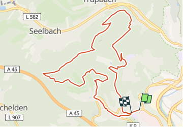

12.2 km | 16.9 km-effort

Tous les sentiers balisés d’Europe GUIDE+


FREE GPS app for hiking
 SityTrail
IGN / Geographical institutes
SityTrail World
The world is yours!
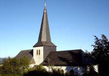
Trail On foot of 11.4 km to be discovered at North Rhine-Westphalia, Kreis Siegen-Wittgenstein, Siegen. This trail is proposed by SityTrail - itinéraires balisés pédestres.
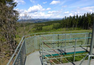
Teil der Wanderhöhepunkte links und rechts des Rothaarsteigs
Symbol: Hügelkette im Kreis


On foot
On foot
On foot

On foot
On foot
On foot
On foot
On foot
On foot