


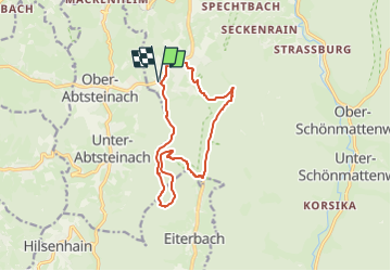

5.6 km | 7.8 km-effort

Tous les sentiers balisés d’Europe GUIDE+


FREE GPS app for hiking
 SityTrail
IGN / Geographical institutes
SityTrail World
The world is yours!
Trail On foot of 11.6 km to be discovered at Hesse, Kreis Bergstraße, Wald-Michelbach. This trail is proposed by SityTrail - itinéraires balisés pédestres.
Trail created by Odenwaldklub.
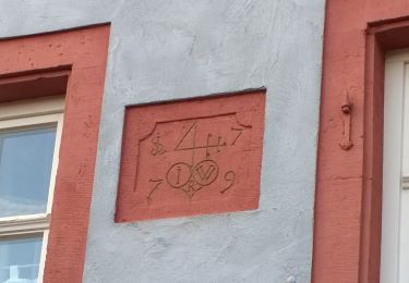
Symbol: Grüne 6 in einem oben offenen grünen Kreis; in der Kreisöffnung ein grünes Si


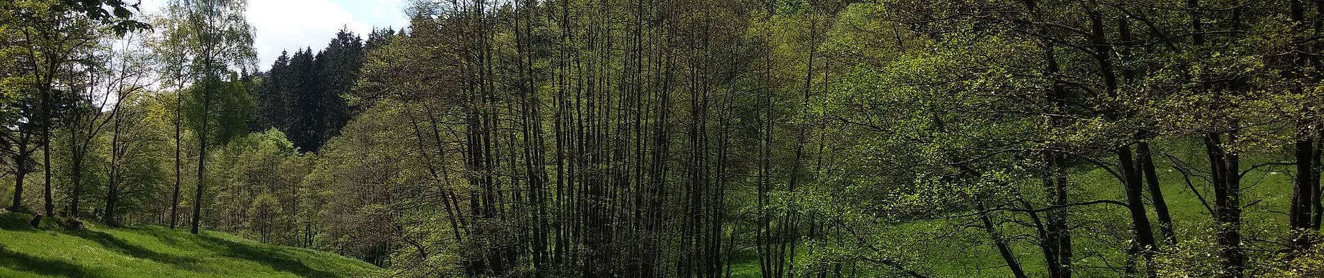
On foot
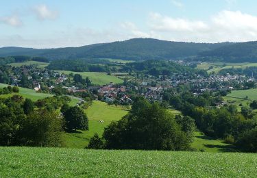
On foot
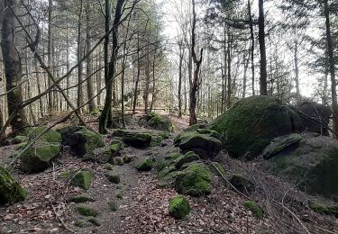
On foot
On foot

On foot
On foot
On foot
On foot
On foot