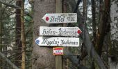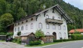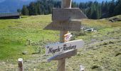

AV Weg 492 (Staffel)
SityTrail - itinéraires balisés pédestres
Tous les sentiers balisés d’Europe GUIDE+

Length
7.5 km

Max alt
1423 m

Uphill gradient
801 m

Km-Effort
16.1 km

Min alt
738 m

Downhill gradient
168 m
Boucle
No
Signpost
Creation date :
2022-02-11 13:25:58.337
Updated on :
2022-02-11 13:25:58.337
3h39
Difficulty : Easy

FREE GPS app for hiking
About
Trail On foot of 7.5 km to be discovered at Bavaria, Landkreis Bad Tölz-Wolfratshausen, Jachenau. This trail is proposed by SityTrail - itinéraires balisés pédestres.
Description
Trail created by DAV Sektion Lenggries.
Positioning
Country:
Germany
Region :
Bavaria
Department/Province :
Landkreis Bad Tölz-Wolfratshausen
Municipality :
Jachenau
Location:
Unknown
Start:(Dec)
Start:(UTM)
684405 ; 5274527 (32T) N.
Comments
Trails nearby
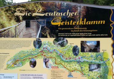
Leutascher Geistelklamm


Walking
Easy
(1)
Gemeinde Leutasch,
Tyrol,
Bezirk Innsbruck-Land,
Austria

6.4 km | 9.8 km-effort
3h 8min
Yes
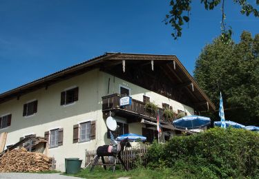
Guglhör-Rundweg


On foot
Easy
Murnau am Staffelsee,
Bavaria,
Landkreis Garmisch-Partenkirchen,
Germany

11.4 km | 14.7 km-effort
3h 19min
Yes
Osterseen-Wanderweg 5


On foot
Easy
Iffeldorf,
Bavaria,
Landkreis Weilheim-Schongau,
Germany

4.4 km | 5.3 km-effort
1h 11min
Yes
Osterseen-Wanderweg 8


On foot
Easy
Iffeldorf,
Bavaria,
Landkreis Weilheim-Schongau,
Germany

4 km | 4.8 km-effort
1h 5min
Yes
Riegsee-Rundweg


On foot
Easy
Spatzenhausen,
Bavaria,
Landkreis Garmisch-Partenkirchen,
Germany

8.8 km | 10 km-effort
2h 16min
Yes
Rundweg 13 Mitte


On foot
Easy
Penzberg,
Bavaria,
Landkreis Weilheim-Schongau,
Germany

5.9 km | 6.9 km-effort
1h 33min
No
Rundweg 14 Süd


On foot
Easy
Sindelsdorf,
Bavaria,
Landkreis Weilheim-Schongau,
Germany

5.3 km | 5.5 km-effort
1h 14min
No
La Voie de l’Aigle : J7


Walking
Very difficult
Gemeinde Scharnitz,
Tyrol,
Bezirk Innsbruck-Land,
Austria

15.3 km | 34 km-effort
5h 51min
No
Wanderweg 611a - Bayerische Voralpen


On foot
Easy
Bad Wiessee,
Bavaria,
Landkreis Miesbach,
Germany

5.2 km | 7 km-effort
1h 35min
No


 SityTrail


