


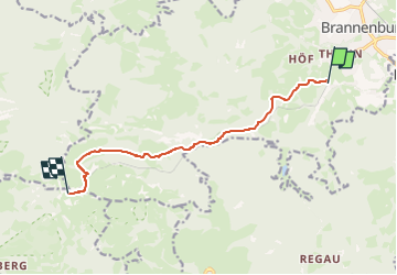

9.2 km | 10.2 km-effort

Tous les sentiers balisés d’Europe GUIDE+


FREE GPS app for hiking
 SityTrail
IGN / Geographical institutes
SityTrail World
The world is yours!
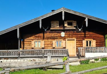
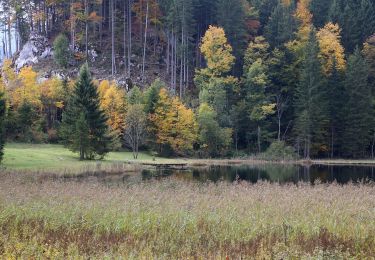
Trail On foot of 8.7 km to be discovered at Bavaria, Landkreis Rosenheim, Brannenburg. This trail is proposed by SityTrail - itinéraires balisés pédestres.
Trail created by Wendelsteinbahn GmbH.
Symbol: Weißes W umrundet von einem weißen Kreis auf blauem Hintergrund
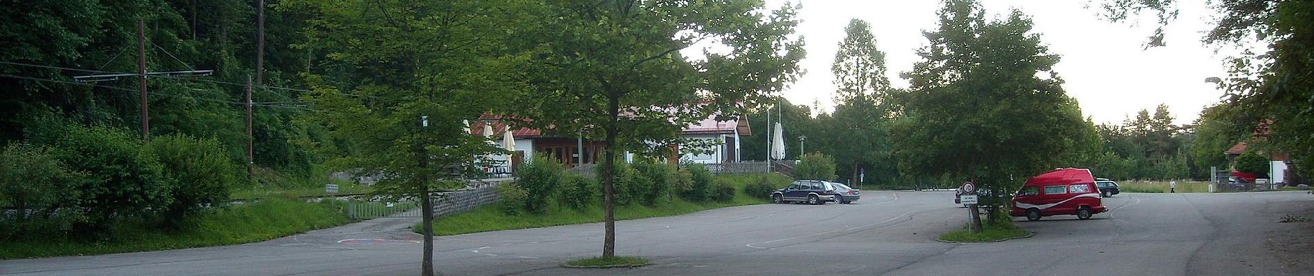
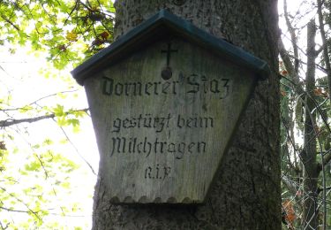
 - Photo 1")
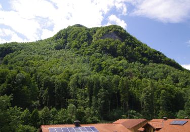
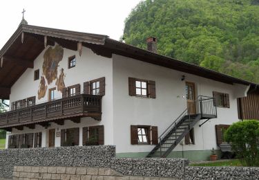
 - Photo 2")
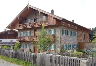
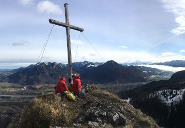
 - Photo 3")
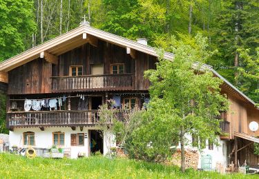
 - Photo 4")
 - Photo 5")
 - Photo 6")
 - Photo 7")
 - Photo 8")
 - Photo 9")
 - Photo 10")
On foot
On foot
On foot
On foot

On foot
On foot
On foot
On foot
On foot