


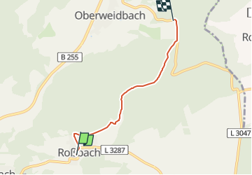

12.9 km | 16.8 km-effort


Tous les sentiers balisés d’Europe GUIDE+


FREE GPS app for hiking
 SityTrail
IGN / Geographical institutes
SityTrail World
The world is yours!
Trail On foot of 3.6 km to be discovered at Hesse, Lahn-Dill-Kreis, Bischoffen. This trail is proposed by SityTrail - itinéraires balisés pédestres.
Trail created by Gemeinde Bad Endbach.
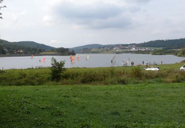
On foot
![Trail On foot Gladenbach - [G2] - Rundweg Gladenbach - Bruchmühle - Sportplatz Erdhausen - Koppe - Mornshausen - Gladenbach - Photo](https://media.geolcdn.com/t/375/260/0190eb51-e3e1-4683-bae1-1b15eaf6b48c.jpeg&format=jpg&maxdim=2)
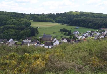
On foot
On foot
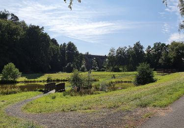
On foot
On foot
On foot

On foot
On foot