


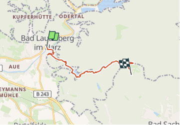

5.2 km | 7.3 km-effort

Tous les sentiers balisés d’Europe GUIDE+


FREE GPS app for hiking
 SityTrail
IGN / Geographical institutes
SityTrail World
The world is yours!
Trail On foot of 7.5 km to be discovered at Lower Saxony, Landkreis Göttingen, Bad Lauterberg. This trail is proposed by SityTrail - itinéraires balisés pédestres.
Website: http://harzerbaudensteig.de/etappe-4-von-bad-lauterberg-nach-bad-sachsa.html


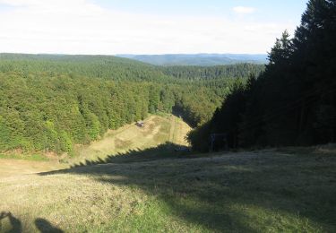
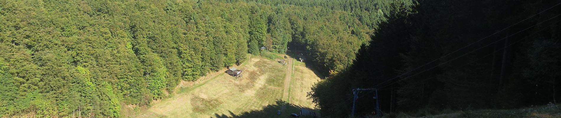
On foot
On foot

On foot