


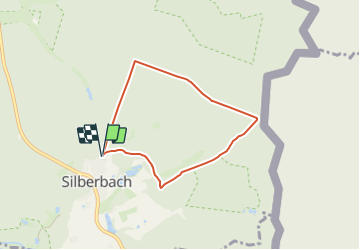

7.8 km | 10.1 km-effort
![Trail On foot Selb - 1 [Selb] - Photo](https://media.geolcdn.com/t/1900/400/ext.pjpeg?maxdim=2&url=https%3A%2F%2Fstatic1.geolcdn.com%2Fsiteimages%2Fupload%2Ffiles%2F1545311037marcheuse_200dpi.jpg)

Tous les sentiers balisés d’Europe GUIDE+


FREE GPS app for hiking
 SityTrail
IGN / Geographical institutes
SityTrail World
The world is yours!
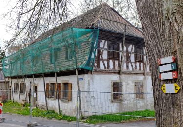
Trail On foot of 5.4 km to be discovered at Bavaria, Landkreis Wunsiedel im Fichtelgebirge, Selb. This trail is proposed by SityTrail - itinéraires balisés pédestres.
Symbol: Schwarze 1 auf gelbem Grund
On foot
On foot
On foot
On foot
On foot
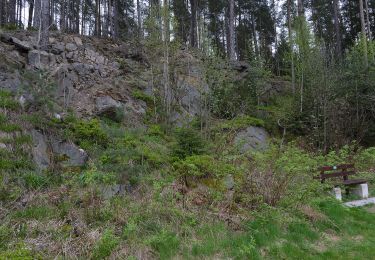
![Trail On foot Selb - 7 [Selb] - Photo](https://media.geolcdn.com/t/375/260/2659c846-1fe5-48d7-9ce0-16d70c315673.jpeg&format=jpg&maxdim=2)
On foot
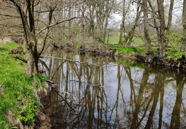
![Trail On foot Selb - 3 [Selb] - Photo](https://media.geolcdn.com/t/375/260/a65d9baa-5712-430b-ad9a-ce39442ae678.jpeg&format=jpg&maxdim=2)
On foot

On foot
On foot