


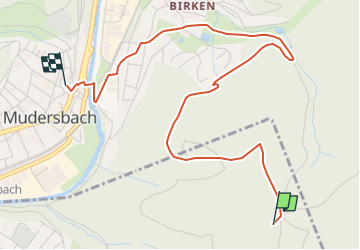

12.2 km | 16.9 km-effort

Tous les sentiers balisés d’Europe GUIDE+


FREE GPS app for hiking
 SityTrail
IGN / Geographical institutes
SityTrail World
The world is yours!
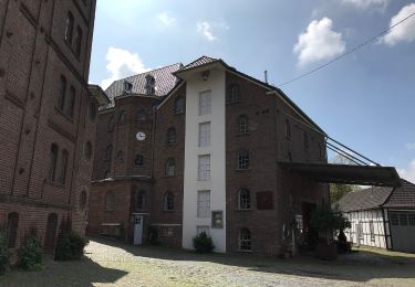
Trail On foot of 4.2 km to be discovered at Rhineland-Palatinate, Landkreis Altenkirchen, Brachbach. This trail is proposed by SityTrail - itinéraires balisés pédestres.
Trail created by Sauerländischer Gebirgsverein.
Website: http://www.sgv-mudersbach.de/wanderweg_3.html


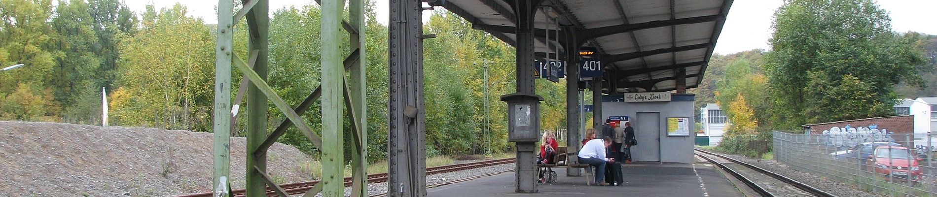
On foot
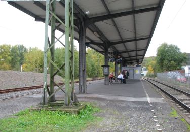
On foot
On foot

On foot
On foot
On foot
On foot
On foot
On foot