


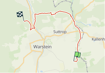

9.6 km | 13.5 km-effort

Tous les sentiers balisés d’Europe GUIDE+


FREE GPS app for hiking
 SityTrail
IGN / Geographical institutes
SityTrail World
The world is yours!
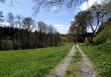
Trail On foot of 10.7 km to be discovered at North Rhine-Westphalia, Kreis Soest, Warstein. This trail is proposed by SityTrail - itinéraires balisés pédestres.
Trail created by Sauerländischer Gebirgsverein.


On foot
On foot
On foot
On foot
On foot

On foot
On foot
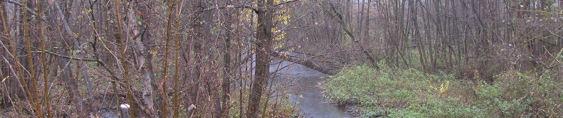
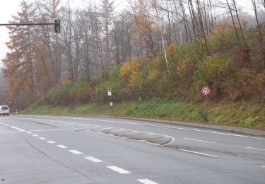
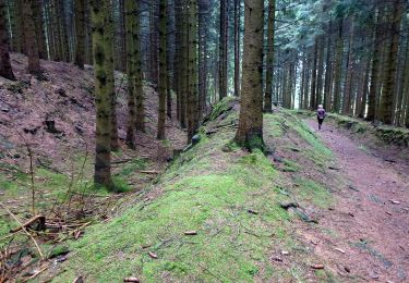
![Trail On foot Warstein - [-]Hirschberg - Höhle - Photo](https://media.geolcdn.com/t/375/260/23c871f1-0b54-493c-8e4f-1536f0dcce5c.jpeg&format=jpg&maxdim=2)
On foot
On foot