


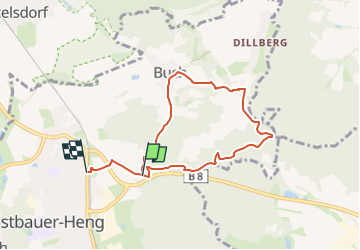

5.1 km | 5.3 km-effort


Tous les sentiers balisés d’Europe GUIDE+


FREE GPS app for hiking
 SityTrail
IGN / Geographical institutes
SityTrail World
The world is yours!
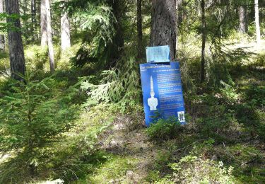
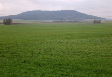
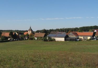
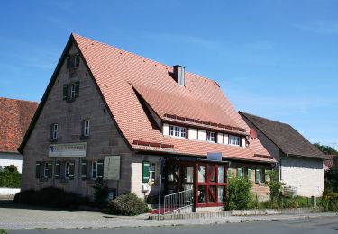
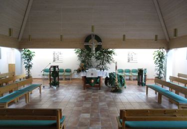
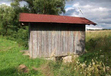
Trail On foot of 6.3 km to be discovered at Bavaria, Landkreis Neumarkt in der Oberpfalz, Postbauer-Heng. This trail is proposed by SityTrail - itinéraires balisés pédestres.
Trail created by Markt Postbauer-Heng.
geprüft (Jan. 2015 by cycling_zno)
Symbol: Weisse 2 auf rotem Grund


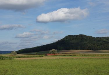
On foot
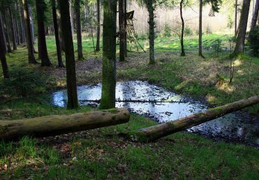
On foot
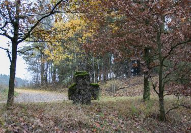
On foot
On foot
On foot
On foot
On foot
On foot
On foot