


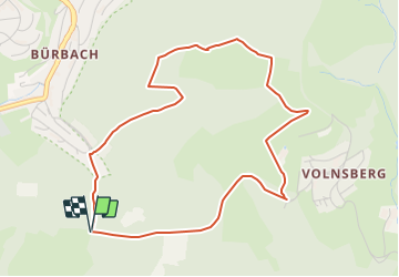

11.4 km | 15.6 km-effort

Tous les sentiers balisés d’Europe GUIDE+


FREE GPS app for hiking
 SityTrail
IGN / Geographical institutes
SityTrail World
The world is yours!
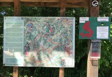
Trail On foot of 4.5 km to be discovered at North Rhine-Westphalia, Kreis Siegen-Wittgenstein, Siegen. This trail is proposed by SityTrail - itinéraires balisés pédestres.
Trail created by Sauerländischer Gebirgsverein.
Symbol: Weißer Text A1 auf schwarzem Grund


On foot
On foot
On foot

On foot
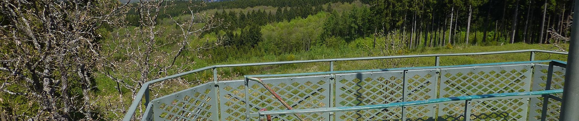
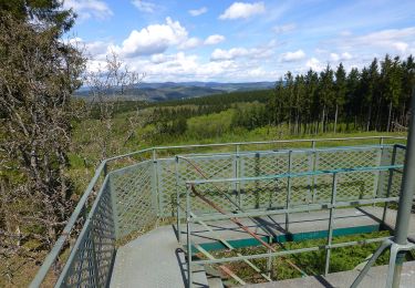
![Trail On foot Netphen - [I] Netphen - Sohlbach - Photo](https://media.geolcdn.com/t/375/260/36097d25-bfd5-44fe-89db-0f2f38036935.jpeg&format=jpg&maxdim=2)
On foot
On foot
On foot

On foot
On foot