


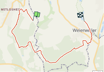

9.7 km | 12.9 km-effort


Tous les sentiers balisés d’Europe GUIDE+


FREE GPS app for hiking
 SityTrail
IGN / Geographical institutes
SityTrail World
The world is yours!
Trail On foot of 8.5 km to be discovered at Saarland, Landkreis Merzig-Wadern, Losheim am See. This trail is proposed by SityTrail - itinéraires balisés pédestres.
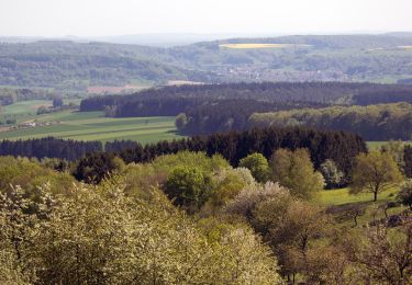
Tolle Aussichten verspricht schon der Name dieses Weges
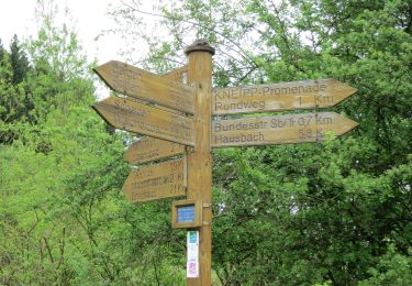
Website: http://www.deutscheswanderinstitut.de/premiumwege/saarland/georgi-panoramaweg/
On foot
On foot
On foot
On foot
On foot

On foot
Walking
Walking
On foot