


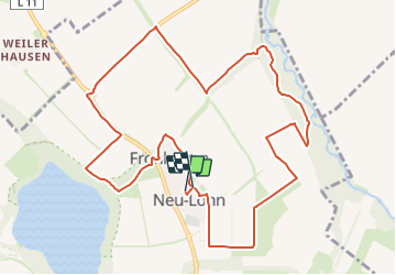

9.1 km | 11.1 km-effort


Tous les sentiers balisés d’Europe GUIDE+


FREE GPS app for hiking
 SityTrail
IGN / Geographical institutes
SityTrail World
The world is yours!
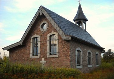
Trail On foot of 11 km to be discovered at North Rhine-Westphalia, Städteregion Aachen, Eschweiler. This trail is proposed by SityTrail - itinéraires balisés pédestres.
Trail created by Förderverein Gedächtniskapelle Kirchspiel Lohn e.V..
Symbol: Blau/Grün umrandetes Sechseck mit Text (Wandern-Kirchspiel-Walking)


On foot

On foot
On foot
On foot
On foot

Walking