


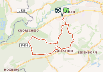

11.3 km | 14.4 km-effort

Tous les sentiers balisés d’Europe GUIDE+


FREE GPS app for hiking
 SityTrail
IGN / Geographical institutes
SityTrail World
The world is yours!
Trail On foot of 7.5 km to be discovered at Saarland, Landkreis Saarlouis, Lebach. This trail is proposed by SityTrail - itinéraires balisés pédestres.
eine der Traumschleifen Saar-Hunsrück
Symbol: dunkelblaue Steinsilhouette mit Schriftzug "Kaltensteinpfad" auf rechteckigem orangefarbenen Grund


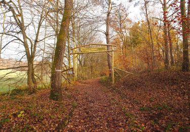
On foot
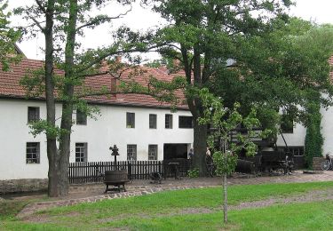
On foot
On foot
On foot
On foot
On foot
On foot
On foot

On foot