


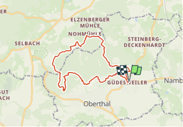

12.9 km | 18.1 km-effort

Tous les sentiers balisés d’Europe GUIDE+


FREE GPS app for hiking
 SityTrail
IGN / Geographical institutes
SityTrail World
The world is yours!
Trail On foot of 14.4 km to be discovered at Saarland, Landkreis St. Wendel, Oberthal. This trail is proposed by SityTrail - itinéraires balisés pédestres.
Trail created by Sankt Wendeler Land.
Symbol: weißes Quadrat mit grüner Landschaft und blauem Pfad


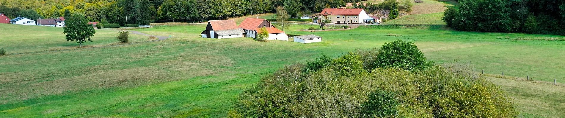
On foot
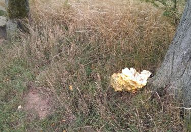
On foot
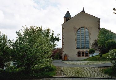
On foot

On foot