


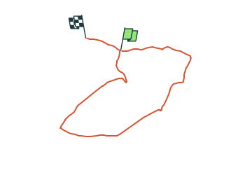

5.7 km | 7.3 km-effort
![Trail On foot Arnsberg - [A1] im Arnsberger Wald bei Neheim - Photo](https://media.geolcdn.com/t/1900/400/ext.pjpeg?maxdim=2&url=https%3A%2F%2Fstatic1.geolcdn.com%2Fsiteimages%2Fupload%2Ffiles%2F1545311037marcheuse_200dpi.jpg)

Tous les sentiers balisés d’Europe GUIDE+


FREE GPS app for hiking
 SityTrail
IGN / Geographical institutes
SityTrail World
The world is yours!
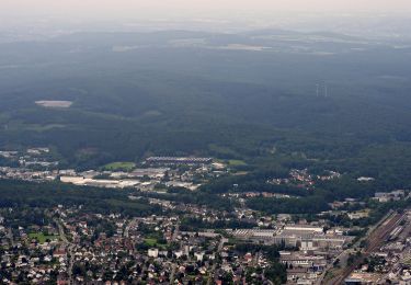
Trail On foot of 7 km to be discovered at North Rhine-Westphalia, Hochsauerlandkreis, Arnsberg. This trail is proposed by SityTrail - itinéraires balisés pédestres.
Trail created by Sauerländischer Gebirgsverein.
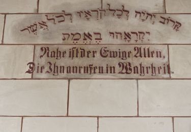
Symbol: Weißes A1 auf schwarzem Grund
On foot
On foot
On foot
On foot
On foot
On foot
On foot
On foot
On foot