


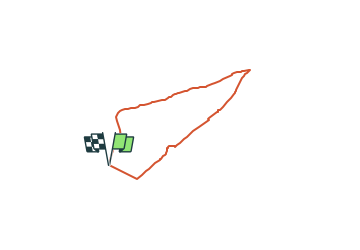

7.7 km | 10.5 km-effort


Tous les sentiers balisés d’Europe GUIDE+


FREE GPS app for hiking
 SityTrail
IGN / Geographical institutes
SityTrail World
The world is yours!
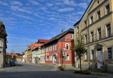
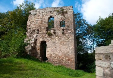
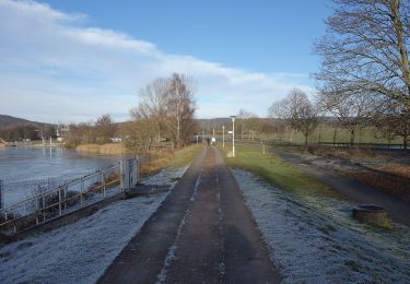
Trail On foot of 4.7 km to be discovered at Thuringia, Landkreis Weimarer Land, Bad Berka. This trail is proposed by SityTrail - itinéraires balisés pédestres.
Symbol: schwarze 5 auf mittig senkrecht geteiltem, links blauen, rechts gelben Kreis

On foot
On foot
On foot
On foot
On foot
On foot
On foot
On foot
On foot