


5.2 km | 6.3 km-effort

Tous les sentiers balisés d’Europe GUIDE+


FREE GPS app for hiking
 SityTrail
IGN / Geographical institutes
SityTrail World
The world is yours!
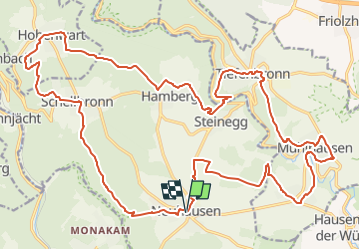
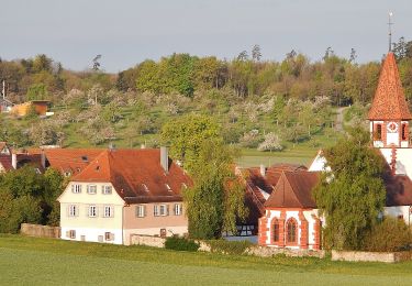
Trail On foot of 29 km to be discovered at Baden-Württemberg, Enzkreis, Neuhausen. This trail is proposed by SityTrail - itinéraires balisés pédestres.
Der Weg ist nur im Uhrzeigersinn beschildert.
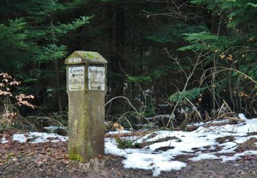
Symbol: Weißes Schild. Darauf blaue Schrift "Kapellenweg" und rechts davon eine stilisierte Kapelle
Website: http://www.neuhausen-enzkreis.de/freizeit/wandern.html


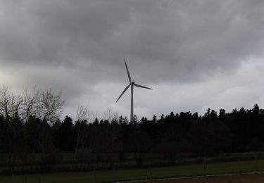
On foot
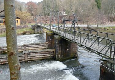
On foot
On foot
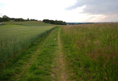
On foot
On foot
On foot

Cycle
Mountain bike