


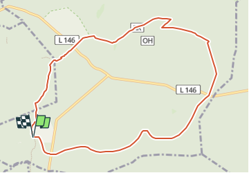

11.7 km | 16.4 km-effort


Tous les sentiers balisés d’Europe GUIDE+


FREE GPS app for hiking
 SityTrail
IGN / Geographical institutes
SityTrail World
The world is yours!
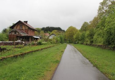
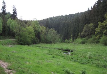
Trail On foot of 10 km to be discovered at Rhineland-Palatinate, Landkreis Trier-Saarburg, Osburg. This trail is proposed by SityTrail - itinéraires balisés pédestres.
Trail created by Naturpark Saar-Hunsrück.
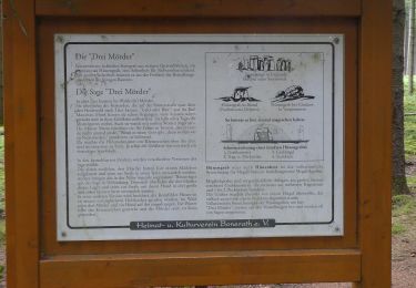
Symbol: Roter Text RR in rotem Rechteck auf weißem Grund
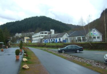
On foot
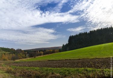
On foot
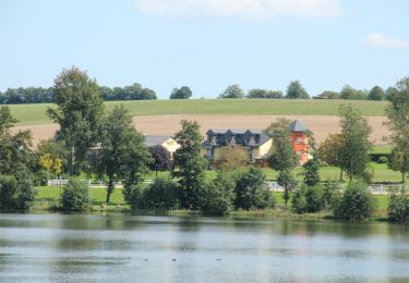
On foot
On foot
On foot
On foot
On foot
On foot
On foot