


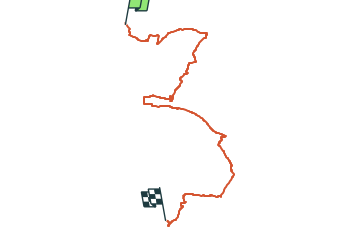

7.3 km | 9.2 km-effort


Tous les sentiers balisés d’Europe GUIDE+


FREE GPS app for hiking
 SityTrail
IGN / Geographical institutes
SityTrail World
The world is yours!
Trail On foot of 25 km to be discovered at Saxony, Sächsische Schweiz-Osterzgebirge, Pirna. This trail is proposed by SityTrail - itinéraires balisés pédestres.
auf einer Wanderkarte in Graupa ist der Nordteil des Weges eingezeichnet.
Symbol: Gelber Punkt auf weißem Grund
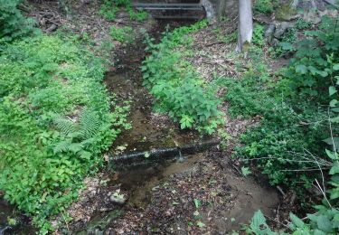
On foot
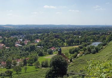
On foot

On foot

Walking