


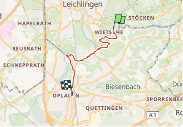

15.3 km | 18.6 km-effort

Tous les sentiers balisés d’Europe GUIDE+


FREE GPS app for hiking
 SityTrail
IGN / Geographical institutes
SityTrail World
The world is yours!
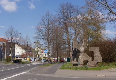
Trail On foot of 7.1 km to be discovered at North Rhine-Westphalia, Rheinisch-Bergischer Kreis, Leichlingen. This trail is proposed by SityTrail - itinéraires balisés pédestres.
Symbol: N


On foot
On foot
On foot

On foot
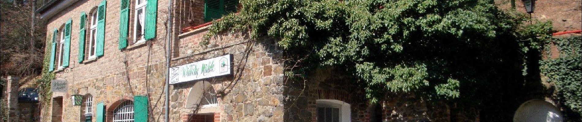
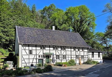
![Trail On foot Leichlingen - [Quadrat] Solingen - Talsperre Diepental - Photo](https://media.geolcdn.com/t/375/260/edb471f7-af8b-4a96-981d-0a404cf8214c.jpeg&format=jpg&maxdim=2)
On foot
On foot
On foot
On foot
On foot