


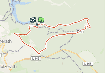

11.7 km | 16.4 km-effort


Tous les sentiers balisés d’Europe GUIDE+


FREE GPS app for hiking
 SityTrail
IGN / Geographical institutes
SityTrail World
The world is yours!
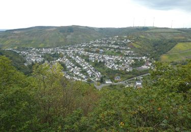
Trail On foot of 8.4 km to be discovered at Rhineland-Palatinate, Landkreis Trier-Saarburg, Osburg. This trail is proposed by SityTrail - itinéraires balisés pédestres.
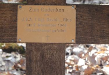
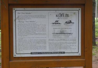
Wegweisungsauschilder Bo5 wurden entfernt. Der Rundweg existiert weiterhin durch Holzschilder mit dem Namen drauf, aber nur in einefr Richtung.


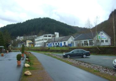
On foot
On foot
On foot
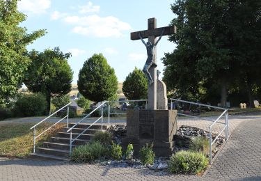
On foot
On foot
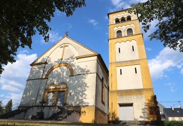
On foot
On foot
On foot
On foot