


6 km | 8.1 km-effort

Tous les sentiers balisés d’Europe GUIDE+


FREE GPS app for hiking
 SityTrail
IGN / Geographical institutes
SityTrail World
The world is yours!
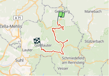
Trail On foot of 18 km to be discovered at Thuringia, Suhl, Unknown. This trail is proposed by SityTrail - itinéraires balisés pédestres.
Trail created by Kulturamt Stadt Suhl.
Beginn Skistadtion Heidersbach bzw. Pfannrain Goldlauter
Symbol: Rotes Dreieck auf weißem Grund, Spitze nach oben (red-triangle)
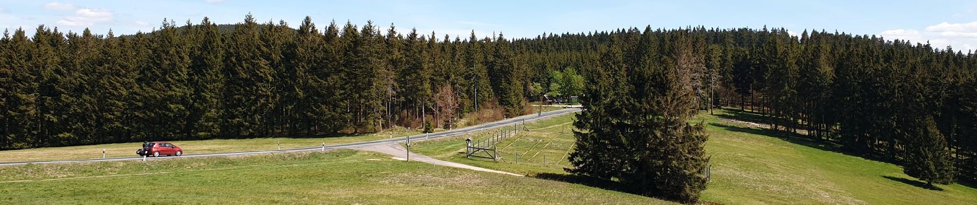
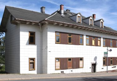
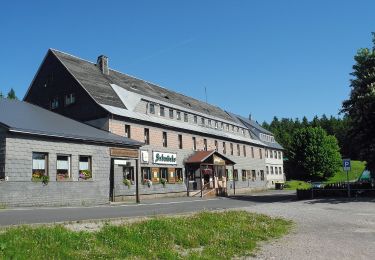
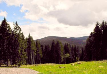
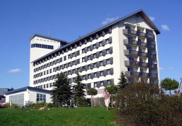
 - Photo 1")
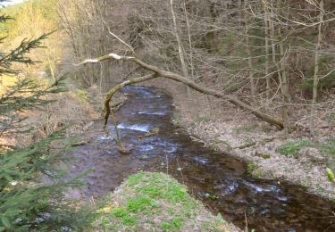
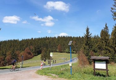
 - Photo 2")
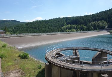
 - Photo 3")
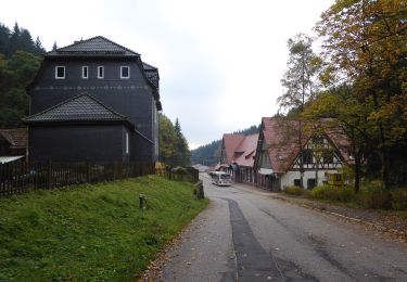
 - Photo 4")
 - Photo 5")
 - Photo 6")
 - Photo 7")
 - Photo 8")
 - Photo 9")
 - Photo 10")
On foot

On foot
On foot
On foot
On foot
On foot
On foot