


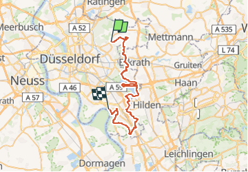

12.4 km | 15.7 km-effort
![Trail On foot Unknown - [D] Düsseldorfer Weg - Photo](https://media.geolcdn.com/t/1900/400/02398625-9783-4a6b-913e-ce79bc76d8b1.jpeg&format=pjpeg&maxdim=2)

Tous les sentiers balisés d’Europe GUIDE+


FREE GPS app for hiking
 SityTrail
IGN / Geographical institutes
SityTrail World
The world is yours!
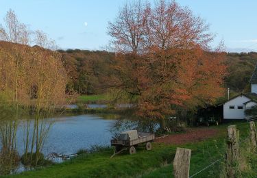
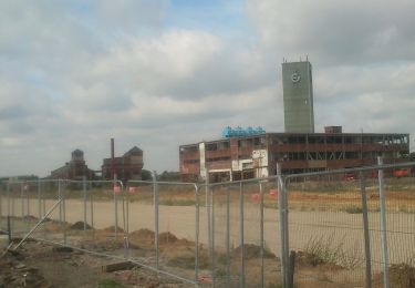
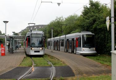
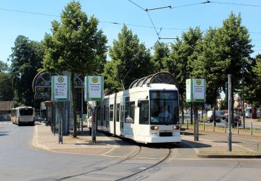
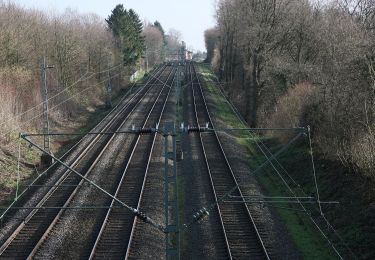
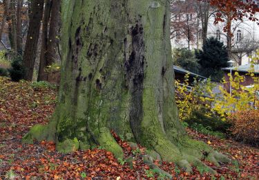
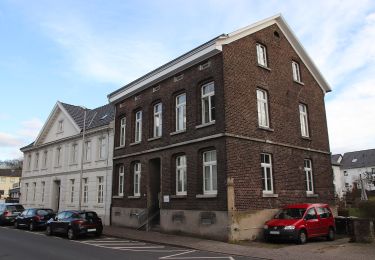
Trail On foot of 39 km to be discovered at North Rhine-Westphalia, Dusseldorf, Unknown. This trail is proposed by SityTrail - itinéraires balisés pédestres.
Symbol: weißes "D" auf schwarzem Grund
![Trail On foot Unknown - [D] Düsseldorfer Weg - Photo 1](https://media.geolcdn.com/t/2048/auto/fda4dd72-3028-45ee-af0c-115df55dd9bd.jpeg&format=jpg&maxdim=0 "Trail On foot Unknown - [D] Düsseldorfer Weg - Photo 1")
![Trail On foot Unknown - [D] Düsseldorfer Weg - Photo 2](https://media.geolcdn.com/t/2048/auto/32f8d7de-5288-4e7e-84b6-424457a22e09.jpeg&format=jpg&maxdim=0 "Trail On foot Unknown - [D] Düsseldorfer Weg - Photo 2")
![Trail On foot Unknown - [D] Düsseldorfer Weg - Photo 3](https://media.geolcdn.com/t/2048/auto/aa80a8cd-ed0d-4685-be8f-7456afab26b7.jpeg&format=jpg&maxdim=0 "Trail On foot Unknown - [D] Düsseldorfer Weg - Photo 3")
![Trail On foot Unknown - [D] Düsseldorfer Weg - Photo 4](https://media.geolcdn.com/t/2048/auto/4c6749b4-b329-4d53-b3db-c6f43f7aadd5.jpeg&format=jpg&maxdim=0 "Trail On foot Unknown - [D] Düsseldorfer Weg - Photo 4")
![Trail On foot Unknown - [D] Düsseldorfer Weg - Photo 5](https://media.geolcdn.com/t/2048/auto/f0a4c676-b45d-44ca-9d2f-c9554313404f.jpeg&format=jpg&maxdim=0 "Trail On foot Unknown - [D] Düsseldorfer Weg - Photo 5")
![Trail On foot Unknown - [D] Düsseldorfer Weg - Photo 6](https://media.geolcdn.com/t/2048/auto/062b9743-e682-4c46-8952-961ec278d0f8.jpeg&format=jpg&maxdim=0 "Trail On foot Unknown - [D] Düsseldorfer Weg - Photo 6")
![Trail On foot Unknown - [D] Düsseldorfer Weg - Photo 7](https://media.geolcdn.com/t/2048/auto/c913dfa4-e9b0-439a-9a38-a119d4e18ce9.jpeg&format=jpg&maxdim=0 "Trail On foot Unknown - [D] Düsseldorfer Weg - Photo 7")
![Trail On foot Unknown - [D] Düsseldorfer Weg - Photo 8](https://media.geolcdn.com/t/2048/auto/02398625-9783-4a6b-913e-ce79bc76d8b1.jpeg&format=jpg&maxdim=0 "Trail On foot Unknown - [D] Düsseldorfer Weg - Photo 8")
![Trail On foot Unknown - [D] Düsseldorfer Weg - Photo 9](https://media.geolcdn.com/t/2048/auto/6db4972d-0d0c-4165-af02-94db5f994e4b.jpeg&format=jpg&maxdim=0 "Trail On foot Unknown - [D] Düsseldorfer Weg - Photo 9")
![Trail On foot Unknown - [D] Düsseldorfer Weg - Photo 10](https://media.geolcdn.com/t/2048/auto/a34a467d-113b-4761-bbc5-88375f6e6d72.jpeg&format=jpg&maxdim=0 "Trail On foot Unknown - [D] Düsseldorfer Weg - Photo 10")
On foot

On foot
On foot
On foot
On foot
On foot
On foot
On foot
On foot