


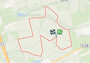

12.4 km | 15.7 km-effort

Tous les sentiers balisés d’Europe GUIDE+


FREE GPS app for hiking
 SityTrail
IGN / Geographical institutes
SityTrail World
The world is yours!
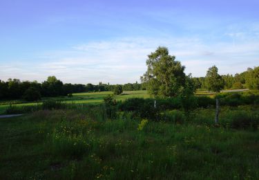
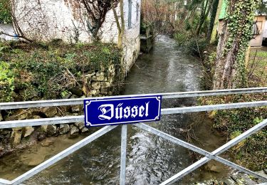
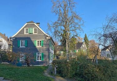
Trail On foot of 5.1 km to be discovered at North Rhine-Westphalia, Kreis Mettmann, Hilden. This trail is proposed by SityTrail - itinéraires balisés pédestres.
könnte auch ein Hase sein...
Symbol: Kaninchen
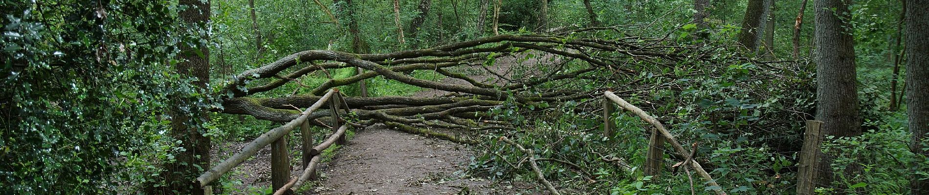
 - Photo 1")
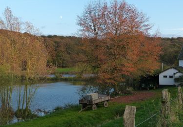
 - Photo 2")
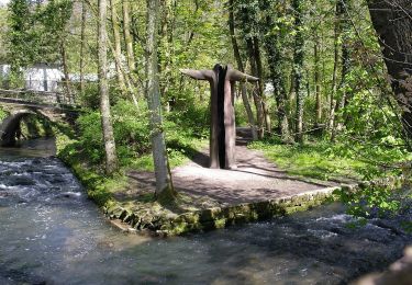
 - Photo 3")
 - Photo 4")
 - Photo 5")
 - Photo 6")
 - Photo 7")
 - Photo 8")
 - Photo 9")
 - Photo 10")
On foot
On foot
On foot

On foot
On foot
On foot

On foot
On foot

On foot