


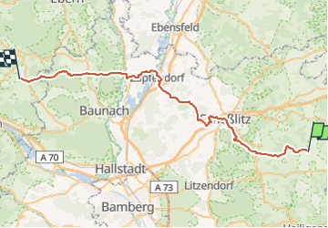

17.3 km | 21 km-effort

Tous les sentiers balisés d’Europe GUIDE+


FREE GPS app for hiking
 SityTrail
IGN / Geographical institutes
SityTrail World
The world is yours!
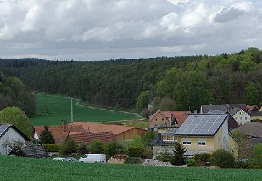
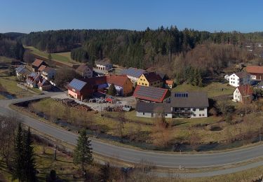
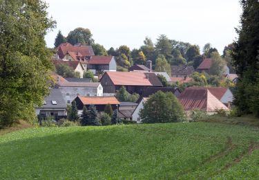
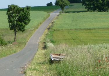
Trail On foot of 44 km to be discovered at Bavaria, Landkreis Bamberg, Königsfeld. This trail is proposed by SityTrail - itinéraires balisés pédestres.
Trail created by Rennsteigverein 1896.
Symbol: rotes Hufeisen auf weißem Grund
Website: http://www.rennsteigverein.de/og_zapfendorf.html


On foot

On foot
On foot
On foot
On foot
On foot
On foot

On foot

On foot