


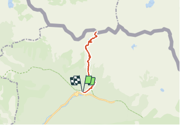

13.3 km | 20 km-effort

User


FREE GPS app for hiking
 SityTrail
IGN / Geographical institutes
SityTrail World
The world is yours!
Trail Snowshoes of 11.4 km to be discovered at Provence-Alpes-Côte d'Azur, Maritime Alps, Saint-Martin-Vésubie. This trail is proposed by bozo1970.
Montée par la vacherie des Erps
Traversée vers le Col de Cerise
Bifurcation par le lac du Mercantour
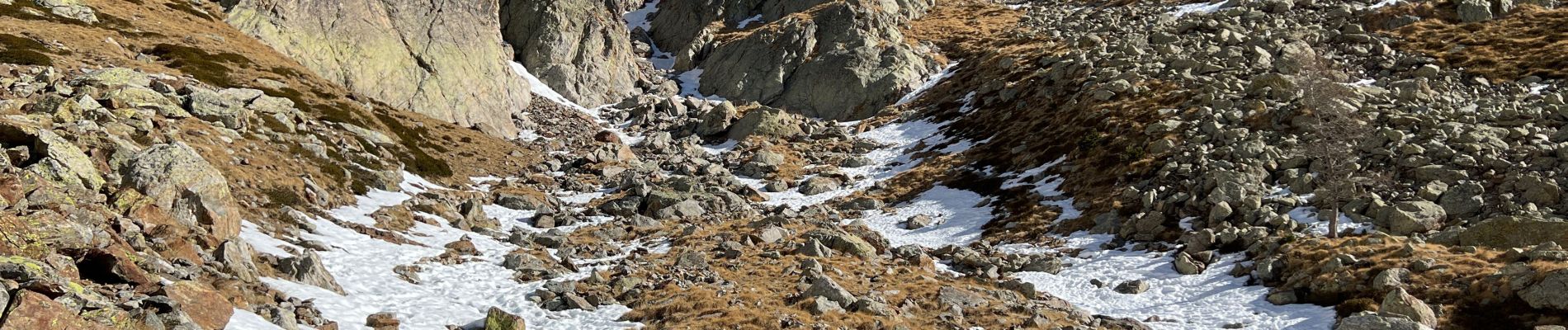
Cafouillage sur une paroi descente en glissade et au piolet
Passage au point 2636
Montée par la crête jusqu’au sommet en 4h10’
Descente en 2h15’


Walking

Walking

Walking

Walking

On foot

On foot

On foot

On foot

Walking