


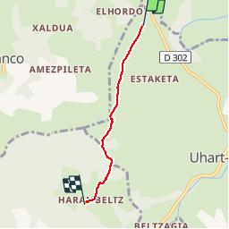

6.1 km | 8.9 km-effort


User


FREE GPS app for hiking
 SityTrail
IGN / Geographical institutes
SityTrail World
The world is yours!
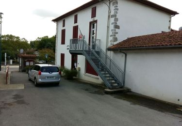
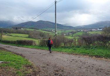
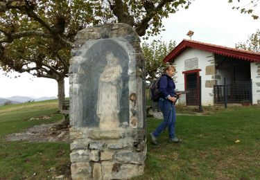
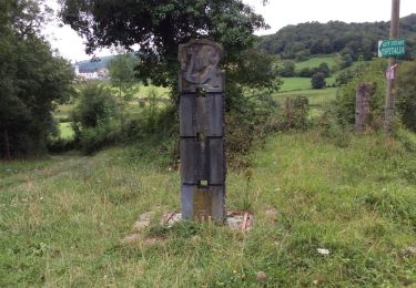
Trail Walking of 3.4 km to be discovered at New Aquitaine, Pyrénées-Atlantiques, Uhart-Mixe. This trail is proposed by coco03.
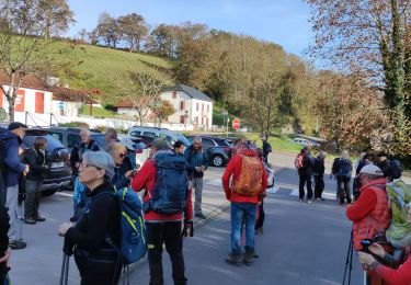
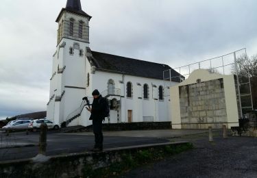
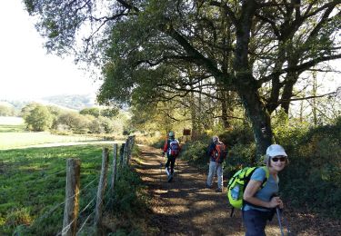
Sur le chemin de St Jacques de Compostelle, la Chapelle Soyarce et sa table d'orientation et enfin la Chapelle d'Harambels (l'intérieur est tout en bois)
7Km AR.

Walking
Walking
Walking
Walking
Walking
Walking
Walking

Walking
Walking