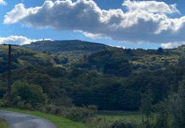
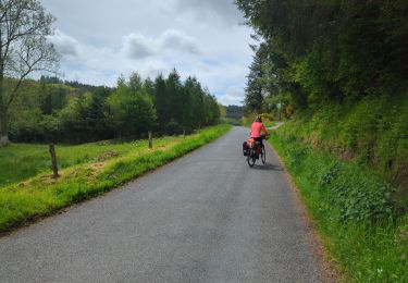
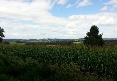
29 km | 39 km-effort
Benevent l Abbaye Chatelus le Meix
Jamartrita
User
Length
22 km
Max alt
671 m
Uphill gradient
463 m
Km-Effort
28 km
Min alt
358 m
Downhill gradient
556 m
Boucle
No
Creation date :
2014-12-10 00:00:00.0
Updated on :
2014-12-10 00:00:00.0
7h09
Difficulty : Medium
FREE GPS app for hiking
About
Trail Walking of 22 km to be discovered at New Aquitaine, Creuse, Bénévent-l'Abbaye. This trail is proposed by Jamartrita.
Description
route de Saint Jacques
Positioning
Country:
France
Region :
New Aquitaine
Department/Province :
Creuse
Municipality :
Bénévent-l'Abbaye
Location:
Unknown
Start:(Dec)
Start:(UTM)
393779 ; 5108203 (31T) N.
Comments
Trails nearby
Sob 22 chamborand saint goussaud
sport
Very easy
Chamborand,
New Aquitaine,
Creuse,
France
Unknown
No
j2 tour de la Creuse
Bicycle tourism
Medium
Bénévent-l'Abbaye,
New Aquitaine,
Creuse,
France
71 km | 90 km-effort
5h 36min
No
Marsac Chatelus
Walking
Difficult
Marsac,
New Aquitaine,
Creuse,
France
21 km | 27 km-effort
5h 20min
No
La Ronze - Bossabut - La Galeine
Walking
Easy
Arrènes,
New Aquitaine,
Creuse,
France
13.4 km | 17.9 km-effort
3h 7min
No
La Ronze - Bossabut - La Galeine
Walking
Easy
Arrènes,
New Aquitaine,
Creuse,
France
13.4 km | 17.9 km-effort
3h 7min
No
Benevent l'abbaye-Arrènes
Walking
Medium
Bénévent-l'Abbaye,
New Aquitaine,
Creuse,
France
22 km | 28 km-effort
4h 20min
Yes
VEZ-16-Benevent-Chatelus le Marcheix
Walking
Medium
Bénévent-l'Abbaye,
New Aquitaine,
Creuse,
France
18.8 km | 25 km-effort
Unknown
No
Marsac-Bourganeuf-Vassivière-Royère-St Pierre-St Moreil
Motorbike
Easy
Marsac,
New Aquitaine,
Creuse,
France
151 km | 189 km-effort
3h 30min
No
Bénévent l'Abbaye Les Billanges
Walking
Difficult
Bénévent-l'Abbaye,
New Aquitaine,
Creuse,
France
30 km | 36 km-effort
6h 4min
No