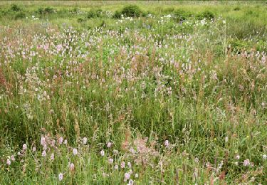
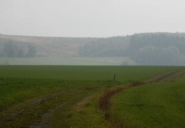
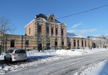
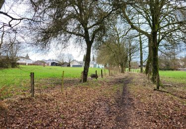
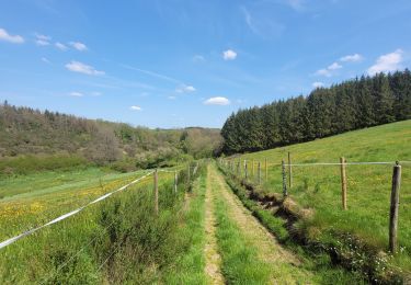
Trail On foot Vaux-sur-Sûre - Promenade des Écureuils - Photo

Promenade des Écureuils

Tous les sentiers balisés d’Europe GUIDE+

© OpenStreetMap contributors
Length
Length
12.2 km
Max alt
Max alt
526 m
Uphill gradient
Uphill gradient
237 m
Km-Effort
Km-Effort  
15.3 km
Min alt
Min alt
439 m
Downhill gradient
Downhill gradient
239 m
Boucle
Boucle
Yes
Signpost
Signpost
Creation date :
2022-02-09 19:26:46.713
Updated on :
2022-02-09 19:26:46.713

(0 Reviews)

On foot
On foot
3h28
Difficulty : Easy

Scan this QR Code to open this trail in the SityTrail application

FREE GPS app for hiking

Logo SityTrail SityTrail

IGN / Geographical institutes

Download SityTrail from the App Store Download SityTrail from Google Play

Logo SityTrail SityTrail World

The world is yours!

Download SityTrail from the App Store Download SityTrail from Google Play Download SityTrail on Huawei AppGallery

About

Trail On foot of 12.2 km to be discovered at Wallonia, Luxembourg, Vaux-sur-Sûre. This trail is proposed by SityTrail - itinéraires balisés pédestres.

Description

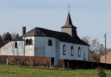
Vaux-sur-Sûre tire la fin de son nom de la rivière qui y prend sa source, la « Sûre ». La commune possède un patrimoine immobilier fourni à travers les villages et les hameaux où l’on ressent une âme rurale préservée. Plusieurs localités de Vaux peuvent aussi se targuer de posséder en leurs centres des églises imposantes au caractère original, qui contrastent avec les nombreuses chapelles éparpillées dans la campagne ardennaise environnante. Ancien cimetière de Sibret (commune de Vaux-sur-Sûre)

Website: http://www.vaux-sur-sure-tourisme.be/promenade-ecureuils

Elevation profile

Photos

Positioning

Country:
Belgium
Region :
Wallonia
Department/Province :
Luxembourg
Municipality :
Vaux-sur-Sûre
Location:
Unknown
Start:(UTM)
692702 ; 5535859 (31U) N.

Trails nearby

Trail Walking Vaux-sur-Sûre - Hompré. Natura 2000, des sites qui valent le détour. Lx8 - Photo
Walking
GUIDE+

Walking

Easy
(5)
Vaux-sur-Sûre, Wallonia, Luxembourg, Belgium
8.2 km | 10.3 km-effort
2h 12min
Yes
Trail On foot Fauvillers - Balade de la Strange (The Strange's Walk) - Photo
On foot
GUIDE+

On foot

Medium
Fauvillers, Wallonia, Luxembourg, Belgium
15.8 km | 21 km-effort
4h 43min
Yes
Trail Walking Bastogne - RB-Lu-27_Lutrebois - Photo
Walking
PRO

Walking

Very easy
Bastogne, Wallonia, Luxembourg, Belgium
31 km | 39 km-effort
8h 27min
Yes
Trail Walking Bastogne - RB-Lu-27_Lutrebois_Boucle-2 - Photo
Walking
PRO

Walking

Very easy
Bastogne, Wallonia, Luxembourg, Belgium
21 km | 26 km-effort
5h 4min
Yes
Trail Walking Bastogne - RB-Lu-27_Lutrebois_Boucle-1 - Photo
Walking
PRO

Walking

Very easy
Bastogne, Wallonia, Luxembourg, Belgium
18.4 km | 23 km-effort
5h 3min
Yes
Trail Walking Fauvillers - Hollange - Photo
Walking
nico_be

Walking

Very easy
Fauvillers, Wallonia, Luxembourg, Belgium
11.4 km | 15.6 km-effort
3h 16min
Yes
Trail Walking Bastogne - Lutrebois 150224 - Photo
Walking
guyernage25

Walking

Easy
Bastogne, Wallonia, Luxembourg, Belgium
16.4 km | 21 km-effort
3h 54min
Yes
Trail Walking Fauvillers - rando honville 18-05-2023 - Photo
Walking
GUIDE
japy54

Walking

Medium
Fauvillers, Wallonia, Luxembourg, Belgium
18 km | 24 km-effort
4h 27min
Yes
Trail Walking Bastogne - rando lutrebois - Photo
Walking
GUIDE
japy54

Walking

Medium
Bastogne, Wallonia, Luxembourg, Belgium
17.2 km | 21 km-effort
3h 57min
Yes


Close
My subscriptions