


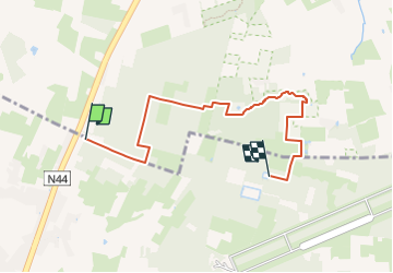

10.2 km | 11.6 km-effort

Tous les sentiers balisés d’Europe GUIDE+


FREE GPS app for hiking
 SityTrail
IGN / Geographical institutes
SityTrail World
The world is yours!
Trail On foot of 5.2 km to be discovered at Flanders, East Flanders, Aalter. This trail is proposed by SityTrail - itinéraires balisés pédestres.
Trail created by Natuur en Bos.
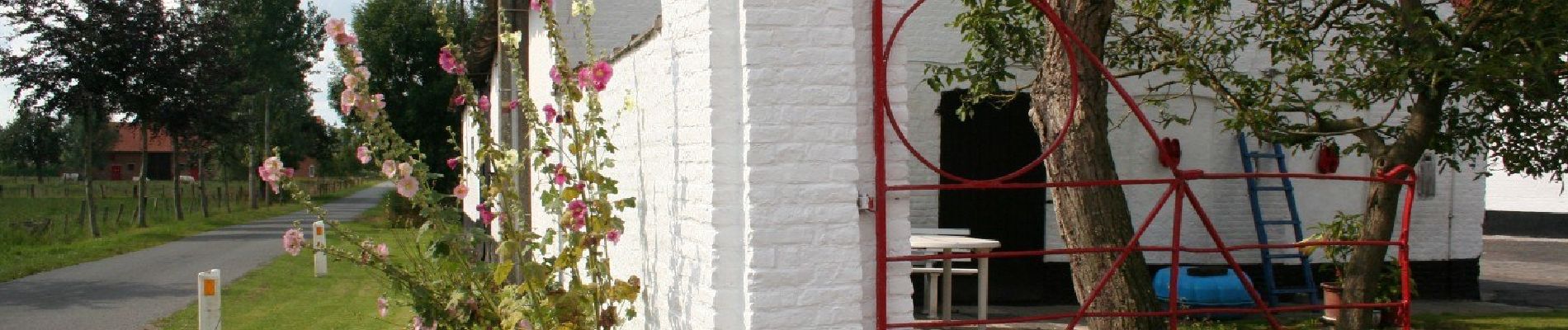
Pijltjes ontbreken vanaf Het Eilendje. Wellicht is de route nog niet volledig uitgezet met borden en pijlen...


Walking
On foot
Walking
Walking

Walking
Walking

On foot
Walking