


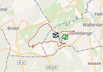

15.6 km | 21 km-effort

Tous les sentiers balisés d’Europe GUIDE+


FREE GPS app for hiking
 SityTrail
IGN / Geographical institutes
SityTrail World
The world is yours!
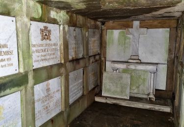
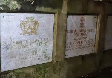
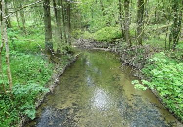
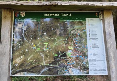
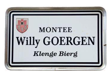
Trail On foot of 6.5 km to be discovered at Unknown, Canton Luxembourg, Walferdange. This trail is proposed by SityTrail - itinéraires balisés pédestres.
Trail created by Ministère de l´Économie.
Website: https://map.geoportail.lu/theme/tourisme?fid=176_1676523


Walking
On foot
On foot
On foot
On foot
On foot

Walking
Walking
On foot