


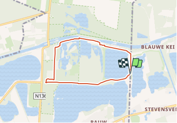

11.4 km | 12.2 km-effort

Tous les sentiers balisés d’Europe GUIDE+


FREE GPS app for hiking
 SityTrail
IGN / Geographical institutes
SityTrail World
The world is yours!
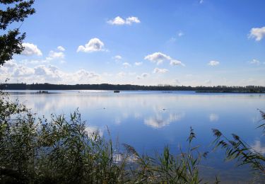
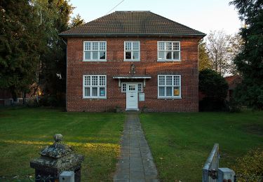
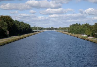
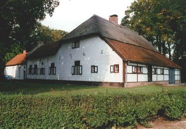
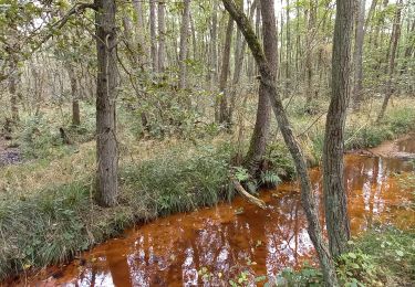
Trail On foot of 5.7 km to be discovered at Flanders, Limburg, Lommel. This trail is proposed by SityTrail - itinéraires balisés pédestres.
Trail created by Bosland.
Website: https://www.natuurpunt.be/natuurgebied/buitengoor-de-maat-den-diel


On foot
On foot
On foot
On foot
Walking