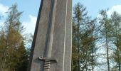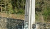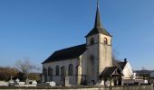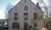

Oberpallen Wanderpfad / FB BL
SityTrail - itinéraires balisés pédestres
Tous les sentiers balisés d’Europe GUIDE+

Length
8.2 km

Max alt
344 m

Uphill gradient
120 m

Km-Effort
9.8 km

Min alt
289 m

Downhill gradient
125 m
Boucle
Yes
Signpost
Creation date :
2022-02-09 18:27:54.219
Updated on :
2022-02-09 18:27:54.219
2h13
Difficulty : Easy

FREE GPS app for hiking
About
Trail On foot of 8.2 km to be discovered at Unknown, Canton Redange, Beckerich. This trail is proposed by SityTrail - itinéraires balisés pédestres.
Description
Symbol: Pointeur bleu
Website: http://www.pnva.be/decouvrir-le-territoire/les-promenades/
Positioning
Country:
Luxembourg
Region :
Unknown
Department/Province :
Canton Redange
Municipality :
Beckerich
Location:
Unknown
Start:(Dec)
Start:(UTM)
704874 ; 5512444 (31U) N.
Comments
Trails nearby
Nothomb - Circuit Natura 2000, des sites qui valent le détour - Lx14


Walking
Medium
(2)
Attert,
Wallonia,
Luxembourg,
Belgium

7.8 km | 10.8 km-effort
2h 18min
Yes
Guirsch, vallée des moulins


Walking
Very easy
(1)
Arlon,
Wallonia,
Luxembourg,
Belgium

5.8 km | 7.2 km-effort
1h 33min
No
Tunnel Tour


Walking
Medium
(1)
Habscht,
Unknown,
Canton Capellen,
Luxembourg

4.2 km | 6.2 km-effort
1h 24min
Yes
Arlon - MESA 2024


Walking
Medium
Arlon,
Wallonia,
Luxembourg,
Belgium

15.8 km | 19.4 km-effort
3h 33min
Yes
Bonnert et la Platinerie


On foot
Easy
Arlon,
Wallonia,
Luxembourg,
Belgium

5.5 km | 7.4 km-effort
1h 40min
Yes
N° 9 - Guirsch - Village classé


On foot
Easy
Arlon,
Wallonia,
Luxembourg,
Belgium

6.5 km | 8.8 km-effort
1h 59min
Yes
Auto-pédestre : Ell


On foot
Easy
Ell,
Unknown,
Canton Redange,
Luxembourg

10.6 km | 13.7 km-effort
3h 6min
Yes

Arlon - Toernich - Arlon (2012 11 04 )


Walking
Medium
Arlon,
Wallonia,
Luxembourg,
Belgium

15.2 km | 19.1 km-effort
4h 6min
Yes


 SityTrail


