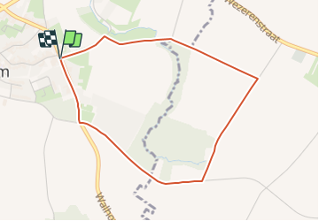


3.3 km | 3.5 km-effort

Tous les sentiers balisés d’Europe GUIDE+


FREE GPS app for hiking
 SityTrail
IGN / Geographical institutes
SityTrail World
The world is yours!
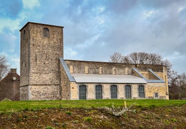
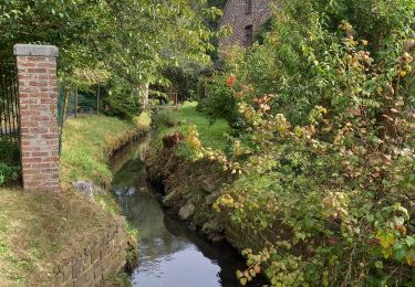
Trail On foot of 3.7 km to be discovered at Flanders, Flemish Brabant, Landen. This trail is proposed by SityTrail - itinéraires balisés pédestres.
Toegankelijk voor rolstoel en buggy


Walking
On foot

On foot
On foot
On foot
Walking