6.2 km | 7.8 km-effort
Naturpfad Hiking Tour
SityTrail - itinéraires balisés pédestres
Tous les sentiers balisés d’Europe GUIDE+
Length
4.3 km
Max alt
346 m
Uphill gradient
97 m
Km-Effort
5.6 km
Min alt
263 m
Downhill gradient
93 m
Boucle
Yes
Signpost
Creation date :
2022-02-09 15:29:20.096
Updated on :
2022-03-10 09:29:01.9
1h16
Difficulty : Easy
FREE GPS app for hiking
About
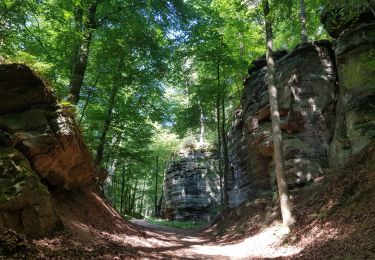
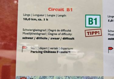
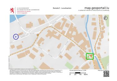
Trail On foot of 4.3 km to be discovered at Unknown, Canton Echternach, Beaufort. This trail is proposed by SityTrail - itinéraires balisés pédestres.

Positioning
Country:
Luxembourg
Region :
Unknown
Department/Province :
Canton Echternach
Municipality :
Beaufort
Location:
Unknown
Start:(Dec)
Start:(UTM)
305003 ; 5523730 (32U) N.
Comments
Trails nearby
2024-08-10_15h10m00_Sentier_local_-_W4
Walking
Medium
(1)
Waldbillig,
Unknown,
Canton Echternach,
Luxembourg
1h 45min
Yes
Berdorf - B2 - Müllerthal
Walking
Medium
(2)
Berdorf,
Unknown,
Canton Echternach,
Luxembourg
6.7 km | 8.5 km-effort
1h 35min
Yes
2021-07-05_20h10m00_gpx-file (1)
Walking
Medium
(1)
Beaufort,
Unknown,
Canton Echternach,
Luxembourg
10.6 km | 13.6 km-effort
3h 5min
Yes
2021-07-05_19h47m20_gpx-file
Walking
Medium
(2)
Beaufort,
Unknown,
Canton Echternach,
Luxembourg
12.9 km | 16.8 km-effort
3h 48min
Yes
Mullerthal randonnée magnifique
Walking
Difficult
(4)
Waldbillig,
Unknown,
Canton Echternach,
Luxembourg
9.3 km | 12.9 km-effort
4h 21min
Yes
2023-06-03_18h17m36_Sentier_local_-_B8
Walking
Medium
(2)
Berdorf,
Unknown,
Canton Echternach,
Luxembourg
11.7 km | 15 km-effort
3h 24min
Yes
MÜLLERTHAL (Cascades)
Walking
Medium
(1)
Waldbillig,
Unknown,
Canton Echternach,
Luxembourg
10.2 km | 13.7 km-effort
3h 1min
Yes
Luxemburg: Mullerthal - Consdorf - Mullerthal
Other activity
Very difficult
(3)
Waldbillig,
Unknown,
Canton Echternach,
Luxembourg
11.5 km | 15.4 km-effort
4h 10min
Yes