


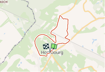

9.5 km | 12 km-effort


User


FREE GPS app for hiking
 SityTrail
IGN / Geographical institutes
SityTrail World
The world is yours!
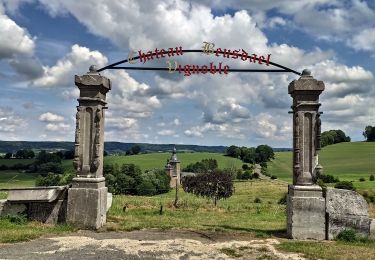
Trail Walking of 6.3 km to be discovered at Wallonia, Liège, Plombières. This trail is proposed by Bob4800.
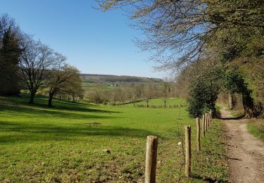
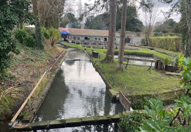
Belle balade sous un peu de soleil, ciel bleu, pas de pluie. Chemins macadamisés entre prairies et villages, un peu de ravel, quelques tronçons de sentiers légèrement boueux.


Walking

Walking

Walking
Walking

Walking
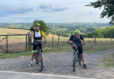
Mountain bike
Walking
Mountain bike
Walking