


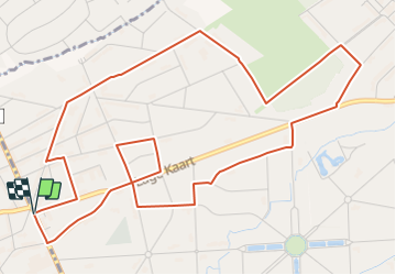

7.4 km | 7.9 km-effort


Tous les sentiers balisés d’Europe GUIDE+


FREE GPS app for hiking
 SityTrail
IGN / Geographical institutes
SityTrail World
The world is yours!
Trail On foot of 6.3 km to be discovered at Flanders, Antwerp, Antwerp. This trail is proposed by SityTrail - itinéraires balisés pédestres.
Brasschaat, 6km, mostly blue signs, but there are old black ones


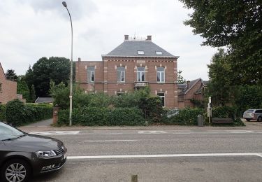
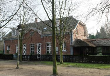
On foot

Walking
Walking
Walking

Mountain bike