


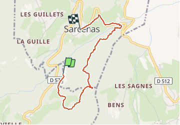

10.9 km | 26 km-effort


User


FREE GPS app for hiking
 SityTrail
IGN / Geographical institutes
SityTrail World
The world is yours!
Trail Walking of 3.4 km to be discovered at Auvergne-Rhône-Alpes, Isère, Quaix-en-Chartreuse. This trail is proposed by patjobou.
Sympa pour une petite balade.
Compter une heure et demi pour le tour complet; prévoir GPS car nombreux chemins forestiers; éviter après pluies.

Walking

Walking

Touring skiing

Walking

Touring skiing

Walking

Mountain bike

Walking
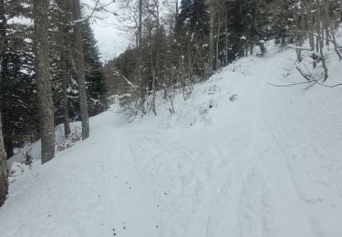
Touring skiing