


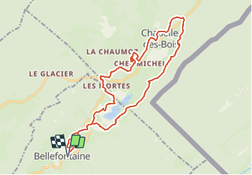

15 km | 21 km-effort


User


FREE GPS app for hiking
 SityTrail
IGN / Geographical institutes
SityTrail World
The world is yours!
Trail Snowshoes of 21 km to be discovered at Bourgogne-Franche-Comté, Jura, Bellefontaine. This trail is proposed by zefreefly.
Une boucle qui longe, empreinte et suit les
sentiers baliser raquette.( forfait jour 3€).
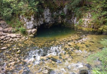
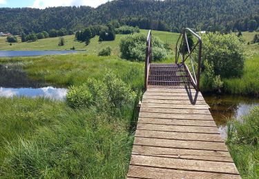
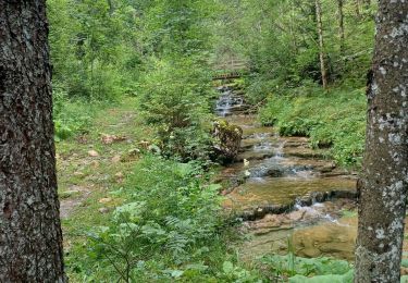
Passage au lacs le long de la cime et en forêt.
Une Rando balade néanmoins longue. ..
très agréable sans trop de dénivelé.


Walking

Walking

Walking
Walking
Walking
Walking

Hybrid bike

Snowshoes

Walking