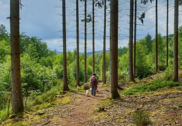
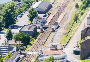
Trail On foot Viroinval - Centre de l'Europe des 15 - Photo

Centre de l'Europe des 15

Randonnées du CGT GUIDE+

© OpenStreetMap contributors
Length
Length
14.6 km
Max alt
Max alt
391 m
Uphill gradient
Uphill gradient
414 m
Km-Effort
Km-Effort  
20 km
Min alt
Min alt
182 m
Downhill gradient
Downhill gradient
414 m
Boucle
Boucle
Yes
Creation date :
2022-02-08 11:34:23.779
Updated on :
2022-02-21 10:15:41.711

(0 Reviews)

On foot
On foot
4h34
Difficulty : Medium

Scan this QR Code to open this trail in the SityTrail application

FREE GPS app for hiking

Logo SityTrail SityTrail

IGN / Geographical institutes

Download SityTrail from the App Store Download SityTrail from Google Play

Logo SityTrail SityTrail World

The world is yours!

Download SityTrail from the App Store Download SityTrail from Google Play Download SityTrail on Huawei AppGallery

About

Trail On foot of 14.6 km to be discovered at Wallonia, Namur, Viroinval. This trail is proposed by Commissariat général au Tourisme.

Description

Trail created by Pays des Lacs.


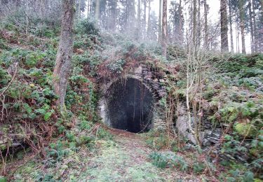
On 7 June 1995, the geographical centre of the EU 15 was in Viroinval. It is located in the place named ‘du Trou du Diable’ (the Devil’s hole) which is an old slate quarry where a glass cathedral was built. A choice of two hikes will take you there. A long 15-km route or the variant that reduces the trail to 9 km. The circuit goes through the woods to a boundary ridge that dominates the French Meuse with its panorama over the river and the towns of Fumay and Haybes. Old slate quarries, which was a flourishing industry until the dawn of the First World War, lie along the route. At the place named ‘Risque-Tout’ (Risk-it-All), you can reduce the hike to 9 km by taking the variant proposed to the right (green cross).


Elevation profile

Photos

Positioning

Country:
Belgium
Region :
Wallonia
Department/Province :
Namur
Municipality :
Viroinval
Location:
Unknown
Start:(UTM)
617388 ; 5542556 (31U) N.

Trails nearby

Trail Walking Viroinval - Le Trou du Diable à Oignies en Thiérache - Photo
Walking
GUIDE
Desrumaux

Walking

Very easy
(4)
Viroinval, Wallonia, Namur, Belgium
6.4 km | 9.1 km-effort
2h 32min
Yes
Trail Walking Viroinval - RF-Na-12 Oignies - Grande-boucle - Photo
Walking
PRO

Walking

Medium
(1)
Viroinval, Wallonia, Namur, Belgium
11 km | 14.2 km-effort
3h 2min
Yes
Trail Walking Viroinval - Balade à Le Mesnil - Viroinval - Photo
Walking
GUIDE
Desrumaux

Walking

Easy
Viroinval, Wallonia, Namur, Belgium
3.6 km | 4.8 km-effort
2h 16min
Yes
Trail Walking Viroinval - 2024-03-19_14h55m08_OTH-A0-008T-2Z7M - Photo
Walking
GUIDE
Desrumaux

Walking

Medium
Viroinval, Wallonia, Namur, Belgium
8.4 km | 11 km-effort
2h 29min
Yes
Trail Walking Viroinval - Balade à Regniessart - Viroinval - Photo
Walking
GUIDE
Desrumaux

Walking

Medium
Viroinval, Wallonia, Namur, Belgium
8.4 km | 10.6 km-effort
2h 24min
Yes
Trail Walking Viroinval - Balade à Oignies-en-Thiérache - Le Ry d'Alise - Photo
Walking
GUIDE
Desrumaux

Walking

Medium
Viroinval, Wallonia, Namur, Belgium
8.6 km | 11.8 km-effort
2h 40min
Yes
Trail On foot Fumay - Les Ardoisières de Fumay - Photo
On foot
GUIDE+

On foot

Easy
Fumay, Grand Est, Ardennes, France
7.8 km | 10.7 km-effort
2h 25min
No
Trail On foot Viroinval - Les Charmes - Photo
On foot
GUIDE+

On foot

Easy
Viroinval, Wallonia, Namur, Belgium
6.1 km | 8.5 km-effort
1h 56min
Yes
Trail On foot Viroinval - Les Crêtes - Robertsart - Photo
On foot
GUIDE+

On foot

Easy
Viroinval, Wallonia, Namur, Belgium
9.9 km | 13.6 km-effort
3h 5min
Yes


Close
My subscriptions