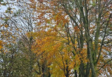
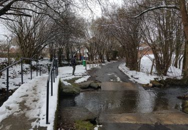
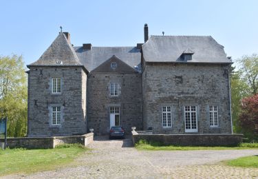
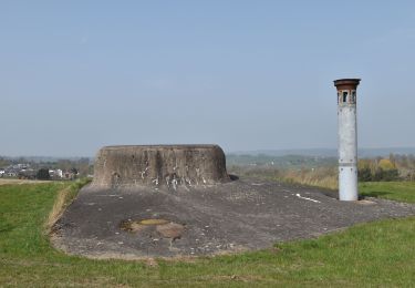
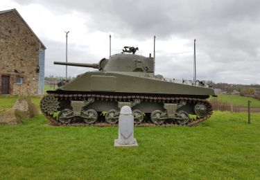
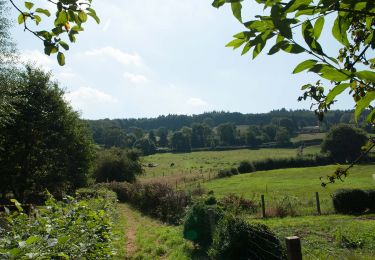
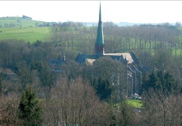
Trail On foot Thimister-Clermont - Clermont-sur-Berwinne : Walk of the Slopes and Spings of the Berwinne River - Photo

Clermont-sur-Berwinne : Walk of the Slopes and Spings of the Berwinne River

Randonnées du CGT GUIDE+

© OpenStreetMap contributors
Length
Length
15.9 km
Max alt
Max alt
304 m
Uphill gradient
Uphill gradient
202 m
Km-Effort
Km-Effort  
18.5 km
Min alt
Min alt
218 m
Downhill gradient
Downhill gradient
200 m
Boucle
Boucle
Yes
Creation date :
2022-02-08 11:33:34.249
Updated on :
2022-02-21 10:15:01.834

(1 Reviews)

On foot
On foot
4h12
Difficulty : Easy

Scan this QR Code to open this trail in the SityTrail application

FREE GPS app for hiking

Logo SityTrail SityTrail

IGN / Geographical institutes

Download SityTrail from the App Store Download SityTrail from Google Play

Logo SityTrail SityTrail World

The world is yours!

Download SityTrail from the App Store Download SityTrail from Google Play Download SityTrail on Huawei AppGallery

About

Trail On foot of 15.9 km to be discovered at Wallonia, Liège, Thimister-Clermont. This trail is proposed by Commissariat général au Tourisme.

Description

Trail created by Pays de Herve.

Elevation profile

Photos

Positioning

Country:
Belgium
Region :
Wallonia
Department/Province :
Liège
Municipality :
Thimister-Clermont
Location:
Unknown
Start:(Dec)
Start:(UTM)
703791 ; 5615871 (31U) N.

Comments

Please log in to post a review or rate the element


• Une des 20 balades incontournables de Visitwallonia • Au départ d’un des Plus Beaux Villages de Wallonie, découvrez les sources de la Berwinne et traversez plusieurs hameaux importants de la région… (la Clouse, Crawhez, Blockhouse). Lancez-vous à la découverte du pays de Herve, synonyme de bocages, prairies et arbres fruitiers ! Durant cette randonnée, la plus longue des balades proposées par la carte de Thimister-Clermont, laissez-vous séduire par le charme bucolique de cette région et les différents styles architecturaux. La diversité en Wallonie vous séduira encore une fois…. ➡️ Départ : rue du Bac 4 à Thimister-Clermont ℹ www.visitwallonia.be/rando Pas exceptionnelle ! Peut-être parce que je connais trop la région. Il faut aimer marcher sur le bitume !


Trails nearby

Trail Walking Thimister-Clermont - La Minerie - Photo
Walking
Ljacquine

Walking

Easy
(6)
Thimister-Clermont, Wallonia, Liège, Belgium
12.9 km | 15.7 km-effort
3h 22min
Yes
Trail Walking Herve - Thimister et son Marché de Noël 🎅🎄 alsacien 🥨  - Photo
Walking
GUIDE
mumu.larandonneuse

Walking

Easy
(1)
Herve, Wallonia, Liège, Belgium
12.7 km | 15.4 km-effort
2h 46min
Yes
Trail Walking Thimister-Clermont - Froidthier - Photo
Walking
GUIDE
mumu.larandonneuse

Walking

Easy
(1)
Thimister-Clermont, Wallonia, Liège, Belgium
6.6 km | 7.9 km-effort
1h 48min
Yes
Trail Walking Plombières - 20220428 - Bois de Hess 6.7 Km - Photo
Walking
GUIDE
pierreh01

Walking

Medium
(1)
Plombières, Wallonia, Liège, Belgium
6.7 km | 8.4 km-effort
3h 11min
Yes
Trail Walking Herve - 20220327 - Fort de Battice - 6.7 Km - Photo
Walking
GUIDE
pierreh01

Walking

Medium
(2)
Herve, Wallonia, Liège, Belgium
6.3 km | 8 km-effort
2h 1min
Yes
Trail Walking Thimister-Clermont - 2021-03-21_09h09m37_1413 - Photo
Walking
GUIDE
mumu.larandonneuse

Walking

Easy
(2)
Thimister-Clermont, Wallonia, Liège, Belgium
11.1 km | 13.6 km-effort
3h 5min
Yes
Trail Walking Limbourg - GG-Lg-11_Dolhain - Pepinster - Photo
Walking
PRO

Walking

Very difficult
(2)
Limbourg, Wallonia, Liège, Belgium
20 km | 26 km-effort
5h 33min
No
Trail Walking Aubel - RB-Lg-04 - Raccourci - À travers le bocage aubelois - Photo
Walking
PRO

Walking

Medium
(3)
Aubel, Wallonia, Liège, Belgium
17.1 km | 22 km-effort
4h 50min
Yes
Trail Mountain bike Aubel - 20220727 Yeyette à Gorhez - Photo
Mountain bike

Mountain bike

Medium
(1)
Aubel, Wallonia, Liège, Belgium
33 km | 41 km-effort
2h 33min
Yes


Close
My subscriptions