Trail On foot Hastière - Les Grottes du Pont d'Arcole - Photo

Les Grottes du Pont d'Arcole

Randonnées du CGT GUIDE+

© OpenStreetMap contributors
Length
Length
4.8 km
Max alt
Max alt
235 m
Uphill gradient
Uphill gradient
132 m
Km-Effort
Km-Effort  
6.6 km
Min alt
Min alt
96 m
Downhill gradient
Downhill gradient
137 m
Boucle
Boucle
Yes
Creation date :
2022-02-08 11:32:40.093
Updated on :
2022-02-21 10:13:58.525

(1 Reviews)

On foot
On foot
1h29
Difficulty : Easy

Scan this QR Code to open this trail in the SityTrail application

FREE GPS app for hiking

Logo SityTrail SityTrail

IGN / Geographical institutes

Download SityTrail from the App Store Download SityTrail from Google Play

Logo SityTrail SityTrail World

The world is yours!

Download SityTrail from the App Store Download SityTrail from Google Play Download SityTrail on Huawei AppGallery

About

Trail On foot of 4.8 km to be discovered at Wallonia, Namur, Hastière. This trail is proposed by Commissariat général au Tourisme.

Description

Trail created by Vallée de la Meuse Namur-Dinant.


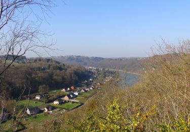
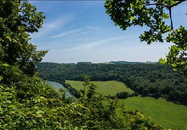
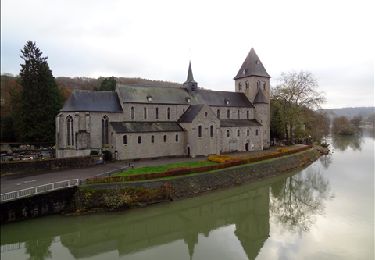
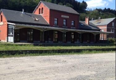
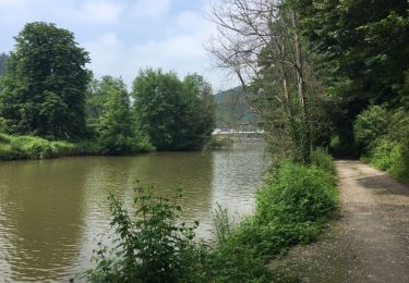
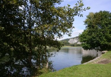
This 4.5 km walk will let you to have a look at the site of the old mill of Hastière, the dolomite rocks of Tahaut, the rock of the Sacred Heart as well as the cave of Notre-Dame de Lourdes. You will take the bridge over the Feron river and reach the caves of the Pont d'Arcole. You will admire the Feron gorges and continue to the hamlet of Inzemont. Further on, the path on the left descends towards the Crupet valley and reaches the Thylère castle before reaching the village.


Elevation profile

Photos

Positioning

Country:
Belgium
Region :
Wallonia
Department/Province :
Namur
Municipality :
Hastière
Location:
Unknown
Start:(UTM)
630203 ; 5564359 (31U) N.

Comments

Please log in to post a review or rate the element


Trails nearby

Trail Walking Hastière - Balade de Hastière à Waulsort - Photo
Walking
GUIDE
Desrumaux

Walking

Medium
(2)
Hastière, Wallonia, Namur, Belgium
10.8 km | 13.8 km-effort
3h 2min
Yes
Trail Walking Hastière - RB-Na-10 Raccourci 2 - Sur les crêtes mosanes - Photo
Walking
PRO

Walking

Easy
(2)
Hastière, Wallonia, Namur, Belgium
18.1 km | 25 km-effort
4h 29min
Yes
Trail Walking Hastière - RB-Na-10 Raccourci 1 - Sur les crêtes mosanes - Photo
Walking
PRO

Walking

Medium
(3)
Hastière, Wallonia, Namur, Belgium
15.3 km | 21 km-effort
5h 28min
Yes
Trail Walking Hastière - RB-Na-10 - Sur les crêtes mosanes - Photo
Walking
PRO

Walking

Medium
(5)
Hastière, Wallonia, Namur, Belgium
22 km | 29 km-effort
6h 21min
Yes
Trail Walking Hastière - Hastiere - Photo
Walking
DoBelle

Walking

Difficult
(1)
Hastière, Wallonia, Namur, Belgium
32 km | 41 km-effort
6h 22min
Yes
Trail Walking Hastière - Balade de Hastière à Hermeton - Photo
Walking
GUIDE
Desrumaux

Walking

Easy
(1)
Hastière, Wallonia, Namur, Belgium
13.1 km | 16.8 km-effort
3h 37min
Yes
Trail Walking Hastière - Waulsort - Circuit Natura 2000, des sites qui valent le détour - Na08 - Photo
Walking
GUIDE+

Walking

Very easy
(4)
Hastière, Wallonia, Namur, Belgium
4.5 km | 6.9 km-effort
1h 40min
Yes
Trail Walking Doische - De Gochenee vers Soulme par la vallee de l'Ermeton - Photo
Walking
GUIDE
Desrumaux

Walking

Medium
(1)
Doische, Wallonia, Namur, Belgium
18.5 km | 24 km-effort
4h 40min
Yes
Trail Walking Onhaye - Balade entre Flavion et Molignée - Photo
Walking
GUIDE
Desrumaux

Walking

Easy
(5)
Onhaye, Wallonia, Namur, Belgium
13.3 km | 16.9 km-effort
3h 20min
Yes


Close
My subscriptions