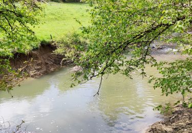
Trail On foot Doische - Falizes - Photo

Randonnées du CGT GUIDE+

© OpenStreetMap contributors
Length
Length
1.7 km
Max alt
Max alt
222 m
Uphill gradient
Uphill gradient
32 m
Km-Effort
Km-Effort  
2.1 km
Min alt
Min alt
189 m
Downhill gradient
Downhill gradient
27 m
Boucle
Boucle
Yes
Creation date :
2022-02-08 11:31:24.838
Updated on :
2022-02-21 10:12:44.752

(0 Reviews)

On foot
On foot
28m
Difficulty : Easy

Scan this QR Code to open this trail in the SityTrail application

FREE GPS app for hiking

Logo SityTrail SityTrail

IGN / Geographical institutes

Download SityTrail from the App Store Download SityTrail from Google Play

Logo SityTrail SityTrail World

The world is yours!

Download SityTrail from the App Store Download SityTrail from Google Play Download SityTrail on Huawei AppGallery

About

Trail On foot of 1.7 km to be discovered at Wallonia, Namur, Doische. This trail is proposed by Commissariat général au Tourisme.

Description

Trail created by Pays des Lacs.


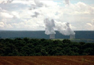
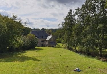
This short walk, which departs from Sainte-Colombe church in Soulme, crosses a wooded area to the south of the village. A sign dating from the German occupation during World War II still hangs on the gable of a former farmhouse, which forms the corner of Rue Désiré Mathieu and the path that leads to Hamoir Mill. The walk passes close to the former Falize quarrying site, which was used to construct the village itself. There were also pastures for goats and sheep on the limestone lawns. The village, which is listed as one of the Most Beautiful Villages of Wallonia, has retained its traditional architecture, the source of its charm. The Romanesque Sainte-Colombe church was built from limestone rubble during the 11th century and is surrounded by the cemetery walls. These are bordered by a stunning row of large chestnut trees.


Elevation profile

Photos

Positioning

Country:
Belgium
Region :
Wallonia
Department/Province :
Namur
Municipality :
Doische
Location:
Unknown
Start:(UTM)
623954 ; 5560881 (31U) N.

Trails nearby

Trail Walking Doische - RB-Na-11 La vallée de l’Hermeton - Photo
Walking
PRO

Walking

Medium
(4)
Doische, Wallonia, Namur, Belgium
25 km | 31 km-effort
6h 40min
Yes
Trail Walking Doische - RB-Na-11 Raccourci - La vallée de l’Hermeton - Photo
Walking
PRO

Walking

Medium
(5)
Doische, Wallonia, Namur, Belgium
19.7 km | 25 km-effort
5h 22min
Yes
Trail Walking Doische - De Gochenee vers Soulme par la vallee de l'Ermeton - Photo
Walking
GUIDE
Desrumaux

Walking

Medium
(1)
Doische, Wallonia, Namur, Belgium
18.5 km | 24 km-effort
4h 40min
Yes
Trail Walking Doische - Promenade à Vodelée - Photo
Walking
GUIDE
Desrumaux

Walking

Easy
(1)
Doische, Wallonia, Namur, Belgium
9.3 km | 11.4 km-effort
2h 15min
Yes
Trail Walking Florennes - De Morville à Miavoye par le bois et le château de Fontaine - Photo
Walking
GUIDE
Desrumaux

Walking

Very easy
(4)
Florennes, Wallonia, Namur, Belgium
7.5 km | 9.2 km-effort
2h 0min
Yes
Trail Walking Onhaye - De Miavoye à Maurenne par le vallon de Féron - Photo
Walking
GUIDE
Desrumaux

Walking

Difficult
Onhaye, Wallonia, Namur, Belgium
11.2 km | 14.3 km-effort
3h 15min
Yes
Trail Walking Philippeville - Balade à Omezée - Photo
Walking
GUIDE
Desrumaux

Walking

Difficult
Philippeville, Wallonia, Namur, Belgium
11.4 km | 14.2 km-effort
3h 13min
Yes
Trail Walking Doische - La Boucle de l'Hermeton - Photo
Walking
GUIDE
Desrumaux

Walking

Difficult
Doische, Wallonia, Namur, Belgium
19 km | 24 km-effort
2h 50min
Yes
Trail Walking Doische - Promenade de la Bonne-Fontaine   - Photo
Walking
GUIDE+

Walking

Medium
(3)
Doische, Wallonia, Namur, Belgium
7.3 km | 9.4 km-effort
2h 7min
Yes


Close
My subscriptions