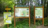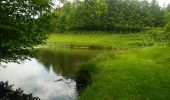

milhaguet les hautes forets

rougilabuse
User

Length
13.5 km

Max alt
479 m

Uphill gradient
230 m

Km-Effort
16.6 km

Min alt
341 m

Downhill gradient
227 m
Boucle
Yes
Creation date :
2014-12-10 00:00:00.0
Updated on :
2014-12-10 00:00:00.0
3h38
Difficulty : Easy

FREE GPS app for hiking
About
Trail Walking of 13.5 km to be discovered at New Aquitaine, Haute-Vienne, Marval. This trail is proposed by rougilabuse.
Description
Circuit proposé par le Comité Départemental du Tourisme de la Haute-Vienne sur le site www.randonnee-hautevienne.com Trés belle rando, beaucoup de forets à faire quand il fait chaud ou en automne.
Positioning
Country:
France
Region :
New Aquitaine
Department/Province :
Haute-Vienne
Municipality :
Marval
Location:
Unknown
Start:(Dec)
Start:(UTM)
327911 ; 5059574 (31T) N.
Comments
Trails nearby

tour des fontaines cussac


Trail
Very easy
Cussac,
New Aquitaine,
Haute-Vienne,
France

11.9 km | 14.5 km-effort
1h 24min
Yes
puy chevalier


Walking
Easy
(1)
Marval,
New Aquitaine,
Haute-Vienne,
France

12.2 km | 14.4 km-effort
3h 35min
Yes
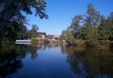
Château Rocher


Walking
Medium
Saint-Mathieu,
New Aquitaine,
Haute-Vienne,
France

21 km | 25 km-effort
5h 29min
Yes
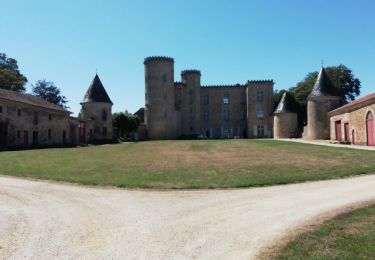
Cussac forêt de cromieres


Walking
Very easy
(1)
Cussac,
New Aquitaine,
Haute-Vienne,
France

8 km | 9.9 km-effort
2h 28min
No

Saint Barthelemy de Bussière boucle1


Walking
Medium
Saint-Barthélemy-de-Bussière,
New Aquitaine,
Dordogne,
France

14.5 km | 18.7 km-effort
4h 3min
Yes
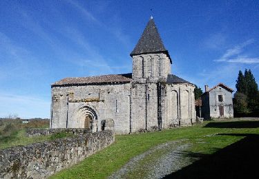
champniers


Walking
Medium
Champniers-et-Reilhac,
New Aquitaine,
Dordogne,
France

14.8 km | 18.5 km-effort
4h 50min
Yes

St Mathieu


Walking
Saint-Mathieu,
New Aquitaine,
Haute-Vienne,
France

7.5 km | 9.4 km-effort
2h 26min
No

2023-09-27_17h57m23_cussac_voie_romaine_cromiere-14583817-1673715285-378


sport
Very easy
Cussac,
New Aquitaine,
Haute-Vienne,
France

16.6 km | 20 km-effort
Unknown
Yes


 SityTrail


