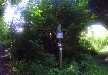
Trail On foot Walcourt - Au fil de Pry - Photo

Au fil de Pry

Randonnées du CGT GUIDE+

© OpenStreetMap contributors
Length
Length
5.7 km
Max alt
Max alt
233 m
Uphill gradient
Uphill gradient
95 m
Km-Effort
Km-Effort  
7 km
Min alt
Min alt
154 m
Downhill gradient
Downhill gradient
97 m
Boucle
Boucle
Yes
Creation date :
2022-02-08 11:29:12.532
Updated on :
2022-02-21 10:10:26.703

(0 Reviews)

On foot
On foot
1h35
Difficulty : Easy

Scan this QR Code to open this trail in the SityTrail application

FREE GPS app for hiking

Logo SityTrail SityTrail

IGN / Geographical institutes

Download SityTrail from the App Store Download SityTrail from Google Play

Logo SityTrail SityTrail World

The world is yours!

Download SityTrail from the App Store Download SityTrail from Google Play Download SityTrail on Huawei AppGallery

About

Trail On foot of 5.7 km to be discovered at Wallonia, Namur, Walcourt. This trail is proposed by Commissariat général au Tourisme.

Description

Trail created by Pays des Lacs.


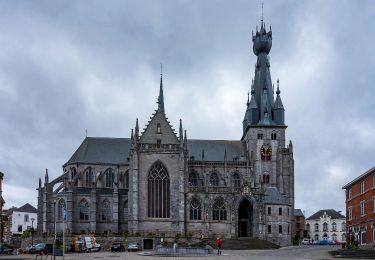
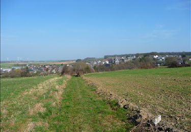
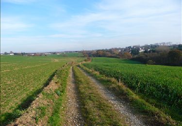
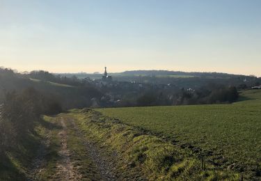
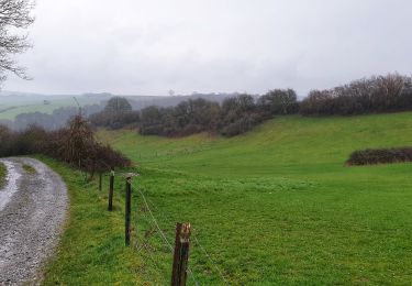
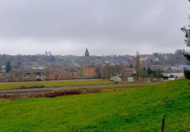
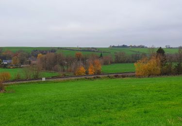
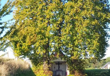
This walk in the village of Pry travels through narrow streets and woods, passing by a chapel and special sights, such as the pump in Place du Mayeur. At the railway, 19th-century lime kilns stand before the quarry, carved into a limestone massif. Upon leaving Pry, the route continues through the Cambier woods. After exiting the woods, you can enjoy an exceptional view of Walcourt and its basilica from the heights. In the Taille Chandelle woods, you can pass through a nature reserve, which is dedicated to the conservation of several species of birds and insects, such as butterflies. You will return to the village passing by ‘Al Rotche’, a rocky promontory which was the site of a Belgo-Roman sanctuary.


Elevation profile

Photos

Positioning

Country:
Belgium
Region :
Wallonia
Department/Province :
Namur
Municipality :
Walcourt
Location:
Unknown
Start:(UTM)
602078 ; 5569935 (31U) N.

Trails nearby

Trail Walking Walcourt - GG-Na-17_Walcourt - Philippeville - Photo
Walking
PRO

Walking

Very difficult
(2)
Walcourt, Wallonia, Namur, Belgium
21 km | 26 km-effort
5h 9min
No
Trail Walking Walcourt - Promenade à Chastrès - Photo
Walking
GUIDE
Desrumaux

Walking

Very easy
(1)
Walcourt, Wallonia, Namur, Belgium
4.7 km | 6 km-effort
1h 10min
Yes
Trail Walking Walcourt - De Laneffe à Fraire par bois et campagnes - Photo
Walking
GUIDE
Desrumaux

Walking

Easy
(1)
Walcourt, Wallonia, Namur, Belgium
12.9 km | 15.5 km-effort
3h 0min
Yes
Trail Walking Walcourt - Randonnée autour de Walcourt - Photo
Walking
Michele Vercauteren

Walking

Medium
(2)
Walcourt, Wallonia, Namur, Belgium
16 km | 20 km-effort
3h 43min
Yes
Trail Walking Walcourt - Balade à Walcourt - Photo
Walking
GUIDE
Desrumaux

Walking

Medium
Walcourt, Wallonia, Namur, Belgium
5.9 km | 7.3 km-effort
1h 39min
Yes
Trail Walking Walcourt - Balade à Yves-Gomezée - Walcourt - Photo
Walking
GUIDE
Desrumaux

Walking

Difficult
Walcourt, Wallonia, Namur, Belgium
10.8 km | 13.2 km-effort
2h 59min
Yes
Trail Walking Ham-sur-Heure-Nalinnes - Balade à Cours-sur-Heure - Photo
Walking
GUIDE
Desrumaux

Walking

Difficult
(1)
Ham-sur-Heure-Nalinnes, Wallonia, Hainaut, Belgium
10.1 km | 13.3 km-effort
3h 44min
Yes
Trail Walking Walcourt - Balade à Berzée - Walcourt - Photo
Walking
GUIDE
Desrumaux

Walking

Medium
Walcourt, Wallonia, Namur, Belgium
8.4 km | 10.4 km-effort
2h 21min
Yes
Trail Mountain bike Walcourt - activity_8994564839 - Photo
Mountain bike
GUIDE
pascalou73

Mountain bike

Very difficult
Walcourt, Wallonia, Namur, Belgium
48 km | 59 km-effort
4h 6min
Yes


Close
My subscriptions