Trail On foot Bouillon - Promenade des Echelles - Photo

Promenade des Echelles

Randonnées du CGT GUIDE+

© OpenStreetMap contributors
Length
Length
5.3 km
Max alt
Max alt
379 m
Uphill gradient
Uphill gradient
211 m
Km-Effort
Km-Effort  
8.1 km
Min alt
Min alt
207 m
Downhill gradient
Downhill gradient
212 m
Boucle
Boucle
Yes
Creation date :
2022-02-08 11:27:29.531
Updated on :
2022-02-21 10:08:35.286

(5 Reviews)

On foot
On foot
1h50
Difficulty : Easy

Scan this QR Code to open this trail in the SityTrail application

FREE GPS app for hiking

Logo SityTrail SityTrail

IGN / Geographical institutes

Download SityTrail from the App Store Download SityTrail from Google Play

Logo SityTrail SityTrail World

The world is yours!

Download SityTrail from the App Store Download SityTrail from Google Play Download SityTrail on Huawei AppGallery

About

Trail On foot of 5.3 km to be discovered at Wallonia, Luxembourg, Bouillon. This trail is proposed by Commissariat général au Tourisme.

Description

Trail created by Pays de Bouillon en Ardenne.


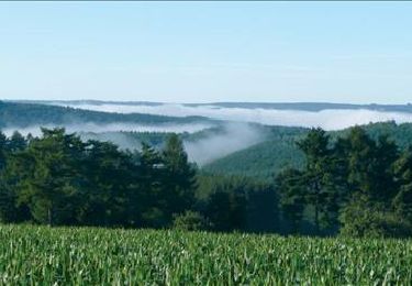
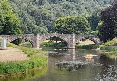
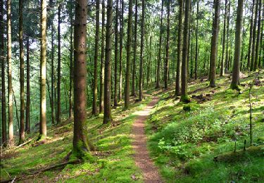
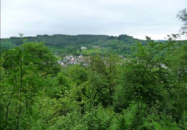
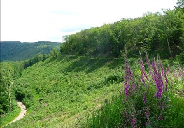
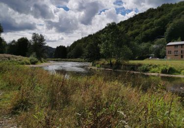
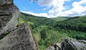
This walk is only 6 km long, but it is still a sporty walk. Due to its ladders fixed to the rock and its steep paths, this walk is for the bravest of you! You will undertake numerous ascents and descents along small, steep paths and follow the Semois and its many meanders for a while. This walk will offer you breathtaking views of the valley.


Elevation profile

Photos

Positioning

Country:
Belgium
Region :
Wallonia
Department/Province :
Luxembourg
Municipality :
Bouillon
Location:
Unknown
Start:(UTM)
644228 ; 5522781 (31U) N.

Comments

Please log in to post a review or rate the element


Prachtige wandeling! Maar niet te onderschatten. Wij deden die met 2 meisjes van 10 en 12 jaar. Goeie wandelschoenen zijn nodig. En we raden het af bij regenweer. 400 hoogtemeters, avontuur verzekerd! We hielden onze meisjes wel dicht bij ons want sommige zichten zijn adembenemend en hoog. Onvergetelijke wandeling!


Trails nearby

Trail Walking Bouillon - RB-Lu-12 - Premier contact avec la Semois au Tombeau du Géant - Photo
Walking
PRO

Walking

Very difficult
(6)
Bouillon, Wallonia, Luxembourg, Belgium
19.1 km | 27 km-effort
6h 7min
Yes
Trail Walking Bouillon - Marche ADEPS à Bouillon 8km500 - Photo
Walking
GUIDE
Bernard Gillet

Walking

Difficult
(1)
Bouillon, Wallonia, Luxembourg, Belgium
8.4 km | 12.5 km-effort
2h 28min
Yes
Trail Walking Vresse-sur-Semois - Rb-Na-32-Racc_Sur-les-rampes-escarpées-de-la-vallée-de-la-Semois - Photo
Walking
PRO

Walking

Very difficult
(2)
Vresse-sur-Semois, Wallonia, Namur, Belgium
14.7 km | 23 km-effort
5h 14min
Yes
Trail Walking Vresse-sur-Semois - Rb-Na-32_Sur les rampes escarpées de la vallée de la Semois - Photo
Walking
PRO

Walking

Very difficult
(2)
Vresse-sur-Semois, Wallonia, Namur, Belgium
19.8 km | 31 km-effort
7h 5min
Yes
Trail Walking Bouillon - De Corbion à la Roche aux Eperviers - Photo
Walking
GUIDE
Desrumaux

Walking

Easy
(2)
Bouillon, Wallonia, Luxembourg, Belgium
10.6 km | 14.6 km-effort
2h 50min
Yes
Trail Walking Bouillon - De Poupehan à Frahan par le sentier des crêtes - Photo
Walking
GUIDE
Desrumaux

Walking

Medium
(2)
Bouillon, Wallonia, Luxembourg, Belgium
8.8 km | 12.5 km-effort
3h 0min
Yes
Trail Walking Bouillon - De Corbion à Poupehan par la Roche des Fées et la Chaire à Prêcher - Photo
Walking
GUIDE
Desrumaux

Walking

Medium
(2)
Bouillon, Wallonia, Luxembourg, Belgium
7.3 km | 11.1 km-effort
3h 0min
Yes
Trail Walking Bouillon - Corbion - Le Sentier des Points de Vue - Photo
Walking
GUIDE
Desrumaux

Walking

Medium
(7)
Bouillon, Wallonia, Luxembourg, Belgium
8.6 km | 12.2 km-effort
3h 0min
Yes
Trail Walking Bouillon - Poupehan_Rochehaut_Frahan_Poupzhan - Photo
Walking
Dom62

Walking

Medium
(4)
Bouillon, Wallonia, Luxembourg, Belgium
12.8 km | 18.7 km-effort
5h 7min
Yes


Close
My subscriptions